Berkeley Health Laboratory
Berkeley Health Laboratory is a building in San Mateo, California. Berkeley Health Laboratory is situated nearby to Bayfront Park, as well as near Peninsula High School.| Tap on a place to explore it |
Places of Interest Nearby
Highlights include Peninsula High School and Millbrae station.
Peninsula High School
School
Peninsula High School is a public continuation high school in Burlingame, California, United States. Before moving to Burlingame in 2021, it used the former Crestmoor High School campus in San Bruno, California. Peninsula High School is situated 1,600 feet southeast of Berkeley Health Laboratory.
Millbrae station
Railway station

Photo: Pi.1415926535, CC BY-SA 3.0.
Millbrae station is an intermodal transit station serving Bay Area Rapid Transit and Caltrain, located in Millbrae, California. The station is the terminal station for BART on the San Francisco Peninsula, served by two lines: The Red Line before 9 pm and the Yellow Line during the early morning and evening. Millbrae station is situated 4,100 feet west of Berkeley Health Laboratory.
Terminal 2
Airport terminal

Photo: Bill Larkins, CC BY-SA 2.0.
Terminal 2 is an airport terminal, which is situated 1¼ miles northwest of Berkeley Health Laboratory.
Places in the Area
Nearby places include Millbrae and Lomita Park.
Millbrae

Photo: BrokenSphere, CC BY-SA 3.0.
Millbrae is a city on the Peninsula in the San Francisco Bay Area of California. It is south of San Bruno and north of Burlingame. It is very close to San Francisco International Airport and is an important Bay Area transit hub because it has the southernmost BART station on the Peninsula and is served by Caltrain.
Lomita Park
Hamlet
Lomita Park, California is a small unincorporated community adjacent to San Bruno in San Mateo County, just west of the San Francisco International Airport. Lomita Park is situated 2 miles northwest of Berkeley Health Laboratory.
San Bruno
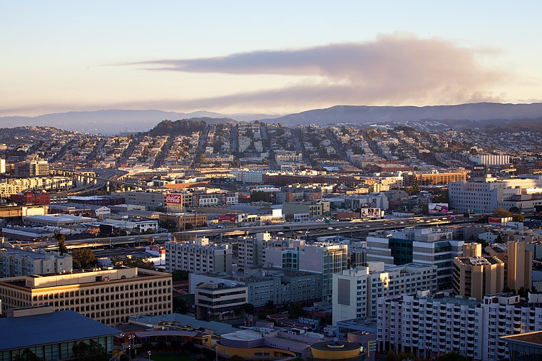
Photo: Michael Margolis, CC BY 2.0.
San Bruno is a city on the Peninsula in the San Francisco Bay Area of California. It is south of South San Francisco and north of Millbrae. It is famous for being the main headquarters of YouTube.
Berkeley Health Laboratory
- Type: Building
- Address: 831
- Location: San Mateo, California, United States, North America
- View on OpenStreetMap
Latitude
37.6014° or 37° 36′ 5″ northLongitude
-122.37266° or 122° 22′ 22″ westOpen location code
849VJJ2G+HWOpenStreetMap ID
way 30403922OpenStreetMap feature
building=yes
This page is based on OpenStreetMap, Wikidata, and Wikimedia Commons.
We’d love your help improving our open data sources. Thank you for contributing.
Satellite Map
Discover Berkeley Health Laboratory from above in high-definition satellite imagery.
Notable Places Nearby
Highlights include Bayfront Park and World Gym.
Nearby Places
Explore places such as Berkeley Health Laboratory and Cafe Bullshead Express.
California: Must-Visit Destinations
Delve into San Francisco, Los Angeles, San Diego, and Sacramento.
Curious Buildings to Discover
Uncover intriguing buildings from every corner of the globe.
About Mapcarta. Data © OpenStreetMap contributors and available under the Open Database License". Text is available under the CC BY-SA 4.0 license, except for photos, directions, and the map. Photo: Wikimedia, CC BY-SA 2.0.