Betonwerk Pfenning
Betonwerk Pfenning is a shop in Lampertheim, Bergstraße, Hesse. Betonwerk Pfenning is situated nearby to the oxbow lake Welsches Loch, as well as near Die Halle am See.| Tap on a place to explore it |
Places of Interest Nearby
Highlights include Lampertheimer Altrhein and Wormser Ried.
Lampertheimer Altrhein
Nature reserve

Photo: Aquatoney, CC BY-SA 4.0.
Lampertheimer Altrhein is a nature reserve.
Wormser Ried
Nature reserve
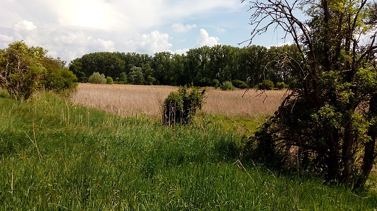
Photo: Herdsoft, CC BY-SA 4.0.
Wormser Ried is a nature reserve, which is situated 3½ km west of Betonwerk Pfenning.
Domkirche
Church

Photo: Kuebi, CC BY-SA 3.0.
Domkirche is a church, which is situated 3½ km southeast of Betonwerk Pfenning.
Places in the Area
Nearby places include Worms and Trinity Church, Worms.
Worms

Photo: Pratz53, CC BY-SA 4.0.
Worms is a city in the Rhineland-Palatinate region of Germany. You can still see many vestiges of the old city walls, particularly the Torturmplatz and the Karolingerstraße.
Trinity Church, Worms
Locality

Photo: Immanuel Giel, Public domain.
The Holy Trinity Church, full name Reformation Memorial Church of the Holy Trinity is the largest Protestant church in Worms. The baroque hall building is centrally located on the market square of the city and is now under conservation. Trinity Church, Worms is situated 5 km west of Betonwerk Pfenning.
Bobenheim-Roxheim
Village

Photo: Jivee Blau, CC BY-SA 3.0.
Bobenheim-Roxheim is a municipality in the Rhein-Pfalz-Kreis, in Rhineland-Palatinate, Germany. It is situated approximately 5 km south of Worms, and 13 km northwest of Ludwigshafen. Bobenheim-Roxheim is situated 6 km southwest of Betonwerk Pfenning.
Betonwerk Pfenning
- Type: Shop
- Location: Lampertheim, Bergstraße, South Hesse, Hesse, Germany, Central Europe, Europe
- View on OpenStreetMap
Latitude
49.61391° or 49° 36′ 50″ northLongitude
8.42793° or 8° 25′ 41″ eastOperator
Betonwerk Pfenning GmbHOpen location code
8FXCJC7H+H5OpenStreetMap ID
way 306077025OpenStreetMap feature
shop=trade
This page is based on OpenStreetMap, Wikidata, and Wikimedia Commons.
We’d love your help improving our open data sources. Thank you for contributing.
Satellite Map
Discover Betonwerk Pfenning from above in high-definition satellite imagery.
Notable Places Nearby
Highlights include Welsches Loch and Die Halle am See.
Nearby Places
Explore places such as Betonstahl Lampertheim GmbH and Freischärlergrab.
South Hesse: Must-Visit Destinations
Delve into Darmstadt, Bensheim, Lorsch, and Heppenheim.
Curious Shops to Discover
Uncover intriguing shops from every corner of the globe.
About Mapcarta. Data © OpenStreetMap contributors and available under the Open Database License". Text is available under the CC BY-SA 4.0 license, except for photos, directions, and the map. Photo: Mylius, GFDL.