Estanque Artificial del Arroyo Culebro
Estanque Artificial del Arroyo Culebro is in Leganés, Madrid, Community of Madrid. Estanque Artificial del Arroyo Culebro is situated nearby to the sports venue Antanes, as well as near Sánchez Elez Sanabria.| Tap on a place to explore it |
Places of Interest Nearby
Highlights include Parque Polvoranca and Parque Forestal Periurbano Bosquesur.
Parque Polvoranca
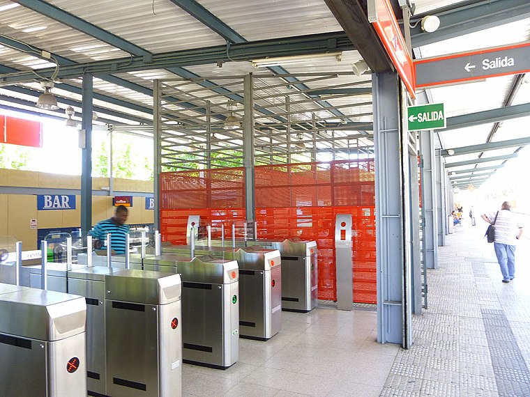
Railway station

Photo: Ricardo Ricote Rodri…, CC BY 3.0.
Parque Polvoranca is a railway station, which is situated 320 metres north of Estanque Artificial del Arroyo Culebro.
Parque Forestal Periurbano Bosquesur
Park

Photo: Miguelazo84, CC BY-SA 3.0.
Parque Forestal Periurbano Bosquesur is a park, which is situated 1 km south of Estanque Artificial del Arroyo Culebro.
La Serna
Railway station
 La Serna is a railway station, which is situated 1½ km southwest of Estanque Artificial del Arroyo Culebro.
Places in the Area
Nearby places include Vereda de los Estudiantes and San Nicasio.
Vereda de los Estudiantes
Suburb

Photo: Malopez 21, CC BY-SA 4.0.
Vereda de los Estudiantes is a suburb, which is situated 2½ km northeast of Estanque Artificial del Arroyo Culebro.
San Nicasio
Suburb

Photo: Chaluco, Public domain.
San Nicasio is a suburb, which is situated 3 km north of Estanque Artificial del Arroyo Culebro.
Zarzaquemada
Suburb
 Zarzaquemada is a suburb, which is situated 4 km northeast of Estanque Artificial del Arroyo Culebro.
Estanque Artificial del Arroyo Culebro
- Type: Body of water
- Location: Leganés, Madrid, Community of Madrid, Central Spain, Spain, Iberia, Europe
- View on OpenStreetMap
Latitude
40.30927° or 40° 18′ 33″ northLongitude
-3.78332° or 3° 47′ westOpen location code
8CGR8658+PMOpenStreetMap ID
way 30620754OpenStreetMap feature
natural=water
This page is based on OpenStreetMap, Wikidata, and Wikimedia Commons.
We’d love your help improving our open data sources. Thank you for contributing.
Satellite Map
Discover Estanque Artificial del Arroyo Culebro from above in high-definition satellite imagery.
Notable Places Nearby
Highlights include Antanes and Sánchez Elez Sanabria.
Nearby Places
Explore places such as Parque Polvoranca - Vía 2 and Antanes.
Community of Madrid: Must-Visit Destinations
Delve into Madrid, Alcalá de Henares, Getafe, and Aranjuez.
Curious Places to Discover
Uncover intriguing places from every corner of the globe.
About Mapcarta. Data © OpenStreetMap contributors and available under the Open Database License". Text is available under the CC BY-SA 4.0 license, except for photos, directions, and the map. Photo: Wikimedia, CC0.