Tecali
Tecali is a police station in Naucalpan de Juárez Municipality, Mexico State. Tecali is situated nearby to the police station Policía Tecamachalco 066, as well as near the fountain Fuente.| Tap on a place to explore it |
Places of Interest Nearby
Highlights include Embassy of Argentina and Embassy of Malaysia.
Embassy of Argentina
Government office
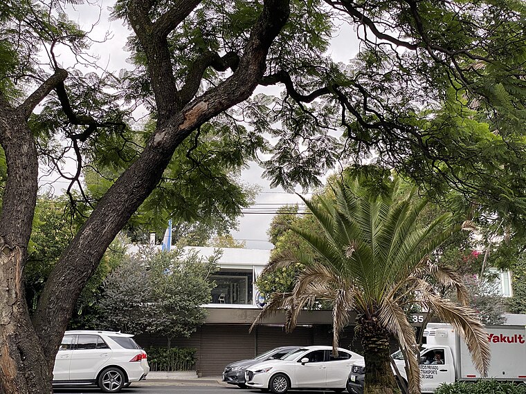
Photo: Aquintero82, CC BY-SA 4.0.
Embassy of Argentina is a government office, which is situated 1 km east of Tecali.
Embassy of Malaysia
Government office

Photo: Aquintero82, CC BY-SA 4.0.
Embassy of Malaysia is a government office, which is situated 1 km east of Tecali.
Embassy of Thailand
Government office

Photo: Aquintero82, CC BY-SA 4.0.
Embassy of Thailand is a government office, which is situated 1 km east of Tecali.
Places in the Area
Nearby places include Bosques de las Lomas and Santa Fe de Mexico.
Bosques de las Lomas
Neighborhood
Bosques de las Lomas is a colonia, or officially recognised neighbourhood, located in western Mexico City. It falls partly in Cuajimalpa borough and partly in Miguel Hidalgo borough. Bosques de las Lomas is situated 2½ km southwest of Tecali.
Santa Fe de Mexico
Village
Santa Fé de México was a Pueblo Hospital founded by Vasco de Quiroga in 1532. Its ruins are located in the town of Santa Fé in the delegación of Álvaro Obregón in western Mexico City. Santa Fe de Mexico is situated 3½ km south of Tecali.
Nuevo Polanco
Quarter

Photo: Wikimedia, CC BY-SA 3.0.
Nuevo Polanco is an area of Mexico City formerly consisting of warehouses and factories, bordering the upscale Polanco on the north across Avenida Ejército Nacional. Nuevo Polanco is situated 4½ km northeast of Tecali.
Tecali
- Type: Police station
- Category: building
- Location: Naucalpan de Juárez Municipality, Mexico State, Central Mexico, Mexico, North America
- View on OpenStreetMap
Latitude
19.41723° or 19° 25′ 2″ northLongitude
-99.23701° or 99° 14′ 13″ westOpen location code
76F2CQ87+V5OpenStreetMap ID
way 30854789OpenStreetMap feature
amenity=policeOpenStreetMap feature
building=yes
This page is based on OpenStreetMap, Wikidata, and Wikimedia Commons.
We’d love your help improving our open data sources. Thank you for contributing.
Satellite Map
Discover Tecali from above in high-definition satellite imagery.
Places with the Same Name
Discover other places named “Tecali”.
Notable Places Nearby
Highlights include Policía Tecamachalco 066 and Fuente.
Nearby Places
Explore places such as Fresko and Banorte.
Mexico State: Must-Visit Destinations
Delve into Tequixquiac, Toluca, Teotihuacan, and Ecatepec.
Curious Police Stations to Discover
Uncover intriguing police stations from every corner of the globe.
About Mapcarta. Data © OpenStreetMap contributors and available under the Open Database License". Text is available under the CC BY-SA 4.0 license, except for photos, directions, and the map. Photo: Wikimedia, CC0.