PMU
PMU is an office building in Paris, Île-de-France. PMU is situated nearby to the bike rental Place du Moulin de Javel, as well as near the railway station Gare Pont du Garigliano - Hôpital Européen Georges-Pompidou.| Tap on a place to explore it |
Places of Interest Nearby
Highlights include Pont du Garigliano station and Hôpital Européen Georges-Pompidou.
Pont du Garigliano station
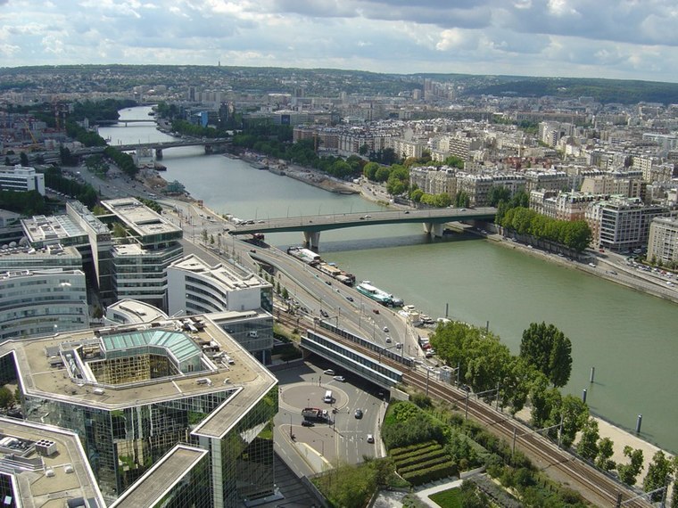
Railway station

Photo: Remontees, CC BY-SA 4.0.
Pont du Garigliano station is a station on the RER C line of the Paris Region's express suburban rail system, the Réseau Express Régional and Line 3a of the Île-de-France tramway network.
Hôpital Européen Georges-Pompidou
Hospital

Photo: KoS, Public domain.
The Hôpital Européen Georges-Pompidou is a French hospital located in Paris. The HEGP is under the aegis of the Assistance publique - Hôpitaux de Paris. Hôpital Européen Georges-Pompidou is situated 210 metres southeast of PMU.
André Citroën Park
Park

Photo: Guilhem Vellut, CC BY 2.0.
Parc André-Citroën is a 14 hectares public park located on the left bank of the river Seine in the 15th arrondissement of Paris. Built on the site of a former Citroën automobile manufacturing plant, the park is named after company founder André Citroën. André Citroën Park is situated 280 metres northeast of PMU.
Places in the Area
Nearby places include Porte du Bas-Meudon and Porte de Sèvres.


PMU
- Type: Office building
- Categories: building and office
- Location: Paris, Île-de-France, France, Europe
- View on OpenStreetMap
Latitude
48.83978° or 48° 50′ 23″ northLongitude
2.27162° or 2° 16′ 18″ eastLevels
5Open location code
8FW4R7QC+WJOpenStreetMap ID
way 31003419OpenStreetMap feature
building=office
This page is based on OpenStreetMap, Wikidata, and Wikimedia Commons.
We’d love your help improving our open data sources. Thank you for contributing.
Satellite Map
Discover PMU from above in high-definition satellite imagery.
Places with the Same Name
Discover other places named “PMU”.
Notable Places Nearby
Highlights include Place du Moulin de Javel and Place Albert Cohen.
Nearby Places
Explore places such as Place du Moulin de Javel and Hôpital Européen Georges Pompidou.
Paris: Must-Visit Destinations
Delve into La Défense, 1st arrondissement, 7th arrondissement, and 8th arrondissement.
Curious Office Buildings to Discover
Uncover intriguing office buildings from every corner of the globe.
About Mapcarta. Data © OpenStreetMap contributors and available under the Open Database License". Text is available under the CC BY-SA 4.0 license, except for photos, directions, and the map. Photo: Benh, CC BY-SA 4.0.