Rene’s Beacon Service
Rene’s Beacon Service is a gas station in Merced County, San Joaquin Valley, California. Rene’s Beacon Service is situated nearby to the public building Well/Pump, as well as near Cornerstone Worship Center Pentecostal Church.| Tap on a place to explore it |
Places of Interest Nearby
Highlights include Merced Theatre and Merced County Courthouse.
Merced Theatre
Theater building

Photo: Mark Miller, CC BY-SA 3.0.
The Merced Theatre is located at 301 W. Main Street, at the corner of Main Street and Martin Luther King Way, in Merced, California. The theatre is significant both for its role as the social and cultural center of Merced from the Depression through the post World War II era and for its mix of Art Deco and Spanish Colonial Revival architecture. Merced Theatre is situated 4,200 feet east of Rene’s Beacon Service.
Merced County Courthouse
Museum

Photo: Ron Johnson, Copyrighted free use.
The Merced County Courthouse is the historic county courthouse in Merced County, California. Located at the intersection of W. 21st and N Streets in Merced, the building served as Merced County's courthouse from 1875 until 1975. Merced County Courthouse is situated 4,100 feet northeast of Rene’s Beacon Service.
Merced station
Railway station
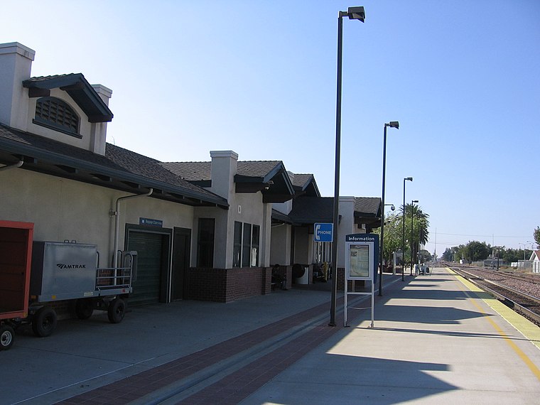
Photo: Pedro Xing, CC0.
Merced station is an intercity rail station located in Merced, California, United States. The station is served by seven daily round trips of the Gold Runner and is a transfer point between trains and Yosemite Area Regional Transportation System buses serving Yosemite National Park. Merced station is situated 1¼ miles northeast of Rene’s Beacon Service.
Places in the Area
Nearby places include Merced and Buhach.
Merced

Photo: Amadscientist, CC BY-SA 3.0.
Merced is a city of 86,000 people in the San Joaquin Valley of California. Located along State Route 99 which runs between the agricultural cities of the eastern San Joaquin Valley, Merced is also a gateway to Yosemite via State Route 140.
Buhach
Hamlet
Buhach is an unincorporated community in Merced County, California. It is located 2 miles east-southeast of Atwater, at an elevation of 157 feet. The Merced Land and Fruit Company established the Buhach Plantation in the area in 1871. Buhach is situated 5 miles northwest of Rene’s Beacon Service.
Rene’s Beacon Service
- Type: Gas station
- Address: Merced
- Categories: building, commercial building, and transportation
- Location: Merced County, San Joaquin Valley, California, United States, North America
- View on OpenStreetMap
Latitude
37.29957° or 37° 17′ 59″ northLongitude
-120.49495° or 120° 29′ 42″ westOpen location code
849X7GX4+R2OpenStreetMap ID
way 311711670OpenStreetMap feature
amenity=fuelOpenStreetMap feature
building=commercial
This page is based on OpenStreetMap, Wikidata, and Wikimedia Commons.
We’d love your help improving our open data sources. Thank you for contributing.
Satellite Map
Discover Rene’s Beacon Service from above in high-definition satellite imagery.
Notable Places Nearby
Highlights include Well/Pump and Calvary Assembly Of God.
Nearby Places
Explore places such as Rene’s Beacon Service and McDonald’s.
Merced County: Must-Visit Destinations
Delve into Merced, Atwater, Los Banos, and Gustine.
Curious Gas Stations to Discover
Uncover intriguing gas stations from every corner of the globe.
About Mapcarta. Data © OpenStreetMap contributors and available under the Open Database License". Text is available under the CC BY-SA 4.0 license, except for photos, directions, and the map. Photo: Wikimedia, CC0.