Santísimo Cristo de la Guía
Santísimo Cristo de la Guía is a church in Vicálvaro, Madrid, Community of Madrid which is located on Calle de Casalarreina. Santísimo Cristo de la Guía is situated nearby to the park Parque De La Maceta, as well as near the theater building Anfiteatro Lourdes y Mariano.| Tap on a place to explore it |
- Type: Church
- Denomination: Catholic
- Address: Calle de Casalarreina 26, Madrid, 28032
Places of Interest Nearby
Highlights include Vicálvaro and Vicálvaro District Hall.
Vicálvaro
Metro station

Photo: Draceane, CC BY-SA 4.0.
Vicálvaro is a station on Line 9 of the Madrid Metro, serving the Vicálvaro barrio. It is located in fare Zone A. Vicálvaro is situated 700 metres southeast of Santísimo Cristo de la Guía.
Vicálvaro District Hall
Town hall

Photo: Zaqarbal, CC BY-SA 3.0 es.
Vicálvaro District Hall is a town hall, which is situated 1 km southeast of Santísimo Cristo de la Guía.
San Cipriano
Metro station

Photo: Draceane, CC BY-SA 4.0.
San Cipriano is a station on Line 9 of the Madrid Metro, under the Calle de San Cipriano. It is located in fare Zone A. San Cipriano is situated 1 km southeast of Santísimo Cristo de la Guía.
Places in the Area
Nearby places include Casco Histórico de Vicálvaro and Horcajo.
Casco Histórico de Vicálvaro
Quarter
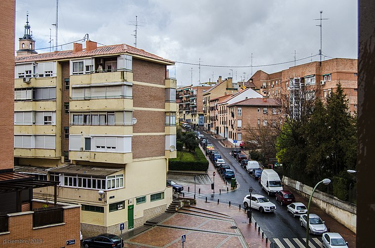
Photo: MottaW, CC BY-SA 3.0.
Casco Histórico de Vicálvaro is an administrative neighborhood of Madrid belonging to the district of Vicálvaro. It is the largest neighborhood in the district.
Horcajo
Quarter

Photo: Michiel1972, CC BY-SA 3.0.
Horcajo is an administrative neighborhood of Madrid belonging to the district of Moratalaz. It has an area of 0.745503 km2. As of 1 February 2020, it has a population of 6,453.
Arcos
Quarter

Photo: Malopez 21, CC BY-SA 4.0.
Arcos is an administrative neighborhood of Madrid belonging to the district of San Blas-Canillejas. It has an area of 1.305192 km2. As of 1 March 2020, it has a population of 24,902.
Santísimo Cristo de la Guía
- Categories: building, place of worship, and religion
- Location: Vicálvaro, Madrid, Madrid, Community of Madrid, Central Spain, Spain, Iberia, Europe
- View on OpenStreetMap
Latitude
40.40938° or 40° 24′ 34″ northLongitude
-3.6136° or 3° 36′ 49″ westOpen location code
8CGRC95P+QHOpenStreetMap ID
way 318323420OpenStreetMap feature
amenity=place_of_worshipOpenStreetMap feature
building=yesOpenStreetMap attribute
denomination=catholic
This page is based on OpenStreetMap, Wikidata, and Wikimedia Commons.
We’d love your help improving our open data sources. Thank you for contributing.
Satellite Map
Discover Santísimo Cristo de la Guía from above in high-definition satellite imagery.
Notable Places Nearby
Highlights include Parque De La Maceta and Anfiteatro Lourdes y Mariano.
Nearby Places
Explore places such as Centro Privado de Educación Infantil y Primaria Colegio Diocesano Cristo de la Guia and Instituto de Educación Secundaria Joaquín Rodrigo.
Madrid: Must-Visit Destinations
Delve into Sol-Letras-Lavapiés, Salamanca, Retiro-Paseo del Arte, and Chamberí-Castellana.
Curious Churches to Discover
Uncover intriguing churches from every corner of the globe.
About Mapcarta. Data © OpenStreetMap contributors and available under the Open Database License". Text is available under the CC BY-SA 4.0 license, except for photos, directions, and the map. Photo: DonPaolo, CC BY-SA 3.0.