Ferme du Pierrou
Ferme du Pierrou is a farmhouse in Bassenge, Liège, Wallonia which is located on Rue Large Voie. Ferme du Pierrou is situated nearby to the community center Union RW, as well as near the pitch Union Roclenge-Wonck.| Tap on a place to explore it |
- Type: Farmhouse
- Also known as: “Ferme de Pierreu”
- Address: Rue Large Voie 3
Places of Interest Nearby
Highlights include Sint-Lambertuskerk and Church of Saint-Pierre.
Sint-Lambertuskerk
Church

Photo: Sonuwe, CC BY-SA 3.0.
Sint-Lambertuskerk is a church, which is situated 740 metres north of Ferme du Pierrou.
Church of Saint-Pierre
Church
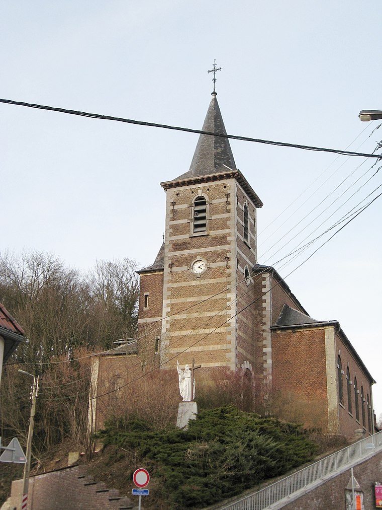
Photo: Sonuwe, CC BY-SA 3.0.
Church of Saint-Pierre is situated 1¼ km west of Ferme du Pierrou.
Le petit Lourdes

Photo: Dodeeric, CC BY-SA 3.0.
Le petit Lourdes is situated 1½ km west of Ferme du Pierrou.
Places in the Area
Nearby places include Boirs and Val-Meer.
Boirs
Village
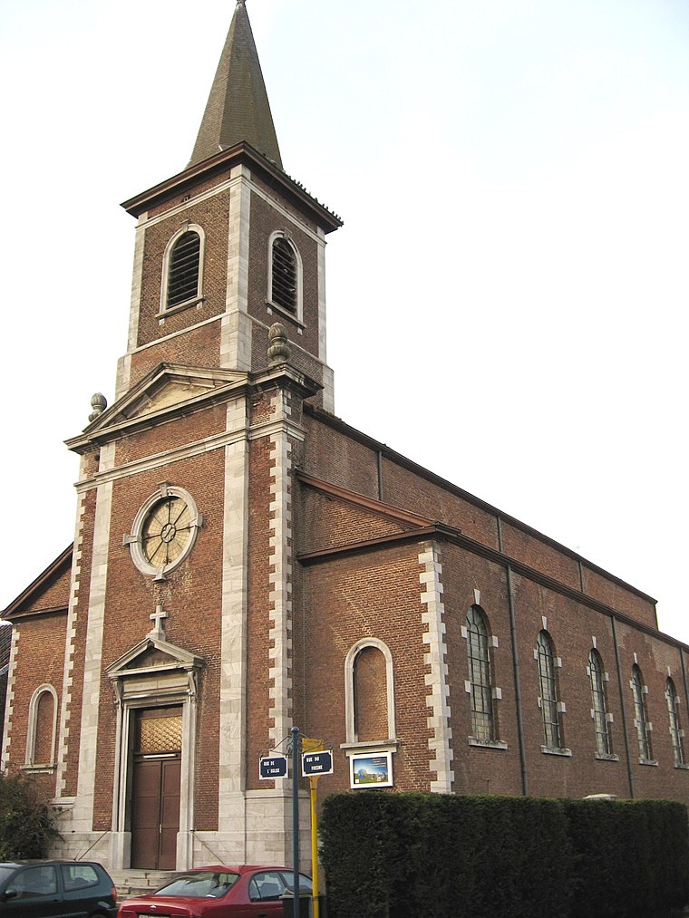
Photo: Sonuwe, CC BY-SA 3.0.
Boirs is a village, which is situated 3½ km west of Ferme du Pierrou.

Lixhe
Village

Photo: Wikimedia, CC BY-SA 3.0.
Lixhe is a village, which is situated 4 km east of Ferme du Pierrou.
Ferme du Pierrou
- Categories: building, historic site, and agriculture
- Location: Bassenge, Liège, Liège, Wallonia, Belgium, Benelux, Europe
- View on OpenStreetMap
Latitude
50.76253° or 50° 45′ 45″ northLongitude
5.62663° or 5° 37′ 36″ eastInception
1785Open location code
9F27QJ7G+2MOpenStreetMap ID
way 320419739OpenStreetMap feature
building=farmOpenStreetMap feature
historic=yes
This page is based on OpenStreetMap, Wikidata, and Wikimedia Commons.
We’d love your help improving our open data sources. Thank you for contributing.
Satellite Map
Discover Ferme du Pierrou from above in high-definition satellite imagery.
Notable Places Nearby
Highlights include Union RW and Union Roclenge-Wonck.
Nearby Places
Explore places such as Wonck Rue du Pierreux and Wonck Rue des Platanes.
Curious Farmhouses to Discover
Uncover intriguing farmhouses from every corner of the globe.
About Mapcarta. Data © OpenStreetMap contributors and available under the Open Database License". Text is available under the CC BY-SA 4.0 license, except for photos, directions, and the map. Photo: Scargill, CC BY-SA 3.0.