lago di Greppo
lago di Greppo is a lake in Abetone Cutigliano, Pistoia, Tuscany. lago di Greppo is situated nearby to the locality Lago delle Bruciate, as well as near Roncominero.| Tap on a place to explore it |
Places of Interest
Highlights include Orto Botanico Forestale dell’Abetone and Monte Gomito.
Orto Botanico Forestale dell’Abetone
Garden

Photo: Innocenti.rob, CC BY-SA 3.0.
The Orto Botanico Forestale dell'Abetone is a botanical garden located in Fontana Vaccaia, Abetone Cutigliano, Province of Pistoia, Tuscany, central Italy.

Lago Nero
Lake
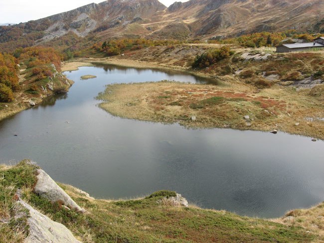
Photo: Montagnapistoiese, Public domain.
Lago Nero is a lake in the Province of Pistoia, Tuscany, Italy. At an elevation of 1730 m, its surface area is 0.08 km².
Places in the Area
Nearby places include Abetone and Libro Aperto.
Abetone
Village

Photo: Sailko, CC BY-SA 4.0.
Abetone was a comune in the Province of Pistoia in the Italian region of Tuscany, located about 80 kilometres northwest of Florence and about 49 kilometres northwest of Pistoia. It has been a frazione of Abetone Cutigliano since 2017.

lago di Greppo
- Type: Lake
- Category: body of water
- Location: Abetone Cutigliano, Pistoia, Tuscany, Central Italy, Italy, Europe
- View on OpenStreetMap
Latitude
44.1199° or 44° 7′ 12″ northLongitude
10.6738° or 10° 40′ 26″ eastOpen location code
8FPG4M9F+XGOpenStreetMap ID
way 326134712OpenStreetMap feature
natural=waterOpenStreetMap feature
water=lake
This page is based on OpenStreetMap, Wikidata, and Wikimedia Commons.
We’d love your help improving our open data sources. Thank you for contributing.
Satellite Map
Discover lago di Greppo from above in high-definition satellite imagery.
Localities in the Area
Explore places such as Lago delle Bruciate and Roncominero.
Notable Places Nearby
Highlights include Cascata del Doccione and Fortezza.
Pistoia: Must-Visit Destinations
Delve into Pistoia, Montecatini Terme, and Monsummano.
Curious Lakes to Discover
Uncover intriguing lakes from every corner of the globe.
About Mapcarta. Data © OpenStreetMap contributors and available under the Open Database License". Text is available under the CC BY-SA 4.0 license, except for photos, directions, and the map. Photo: Wikimedia, CC0.