Gas Plus
Gas Plus is a gas station in Edmonton, Edmonton Capital Region, Alberta. Gas Plus is situated nearby to the church Our Lady of Fatima Portuguese Catholic Parish, as well as near Champion City Church.| Tap on a place to explore it |
Places of Interest Nearby
Highlights include Belvedere station and Otto Reiher Cottage.
Belvedere station
Railway station

Photo: Wikimedia, CC BY-SA 2.0.
Belvedere station is an Edmonton LRT in Edmonton, Alberta. It serves the Capital Line. It is a ground-level station located at Fort Road and 129 Avenue. Belvedere station is situated 750 metres northwest of Gas Plus.
Otto Reiher Cottage
Building

Photo: Odysseus1479, CC BY-SA 3.0.
Otto Reiher Cottage is a building, which is situated 1¼ km south of Gas Plus.
Owen Residence / Dominion Meteorological Station
Building

Photo: Odysseus1479, CC BY-SA 3.0.
Owen Residence / Dominion Meteorological Station is a building, which is situated 2 km south of Gas Plus.
Places in the Area
Nearby places include Newton and Bergman.
Newton
Neighborhood
Newton is a residential neighbourhood located in north east Edmonton, Alberta, Canada. The neighbourhood is bounded on the south by Alberta Avenue, on the north by the Yellowhead Trail, on the east by 50 Street, and on the west by 58 Street. Northlands Coliseum and the Coliseum LRT station are located a short distance to the west of the neighbourhood.
Bergman
Neighborhood
Bergman is a neighbourhood in east Edmonton, Alberta, Canada located immediately to the north of the Town of Beverly townsite. The neighbourhood is named for Gustav C.
Montrose
Neighborhood
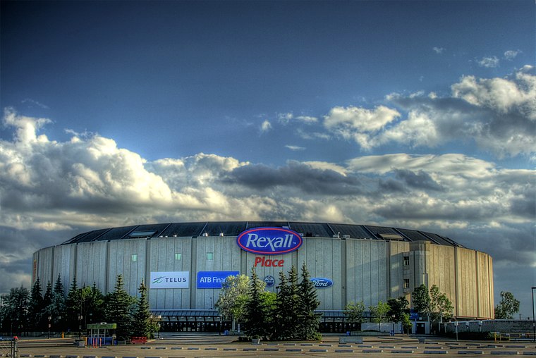
Photo: WinterE229, CC0.
Montrose is a residential neighbourhood in north east Edmonton, Alberta, Canada. It is bounded on the north by the Yellowhead Trail, on the west by the Canadian National Railway right of way and the north east line of the Edmonton Transit Service's LRT system, on the south by 118 Avenue, and on the east by 58 Street.
Gas Plus
- Type: Gas station
- Categories: building and transportation
- Location: Edmonton, Edmonton Capital Region, Alberta, Prairies, Canada, North America
- View on OpenStreetMap
Latitude
53.5825° or 53° 34′ 57″ northLongitude
-113.42722° or 113° 25′ 38″ westOpen location code
9558HHJF+X4OpenStreetMap ID
way 326443649OpenStreetMap feature
amenity=fuelOpenStreetMap feature
building=yes
This page is based on OpenStreetMap, Wikidata, and Wikimedia Commons.
We’d love your help improving our open data sources. Thank you for contributing.
Satellite Map
Discover Gas Plus from above in high-definition satellite imagery.
Places with the Same Name
Discover other places named “Gas Plus”.
Notable Places Nearby
Highlights include Our Lady of Fatima Portuguese Catholic Parish and Champion City Church.
Nearby Places
Explore places such as Kennedale Eco Station and Grande Tire.
Edmonton: Must-Visit Destinations
Delve into Central Edmonton, South Central, South Edmonton, and North Edmonton.
Curious Gas Stations to Discover
Uncover intriguing gas stations from every corner of the globe.
About Mapcarta. Data © OpenStreetMap contributors and available under the Open Database License". Text is available under the CC BY-SA 4.0 license, except for photos, directions, and the map. Photo: WinterE229, CC0.