Kytínská louka
Kytínská louka is a meadow in Dobříš, Příbram District, Central Bohemia. Kytínská louka is situated nearby to the peak U Lávek, as well as near Vrážky [Dobříš].| Tap on a place to explore it |
Places of Interest Nearby
Highlights include Church of Assumption of Mary in Kytín and Church of Saint Wenceslaus (Mníšek pod Brdy).
Church of Assumption of Mary in Kytín
Church
 Church of Assumption of Mary in Kytín is situated 1½ km south of Kytínská louka.
Church of Saint Wenceslaus (Mníšek pod Brdy)
Church

Photo: ŠJů, CC BY-SA 3.0.
Church of Saint Wenceslaus (Mníšek pod Brdy) is situated 3 km east of Kytínská louka.

Places in the Area
Nearby places include Kytín and Halouny.
Kytín
Village
 Kytín is a municipality and village in Prague-West District in the Central Bohemian Region of the Czech Republic. It has about 600 inhabitants.
Halouny
Hamlet

Photo: Wikimedia, CC BY-SA 3.0.
Halouny is a hamlet, which is situated 2½ km north of Kytínská louka.
Skalka
Locality
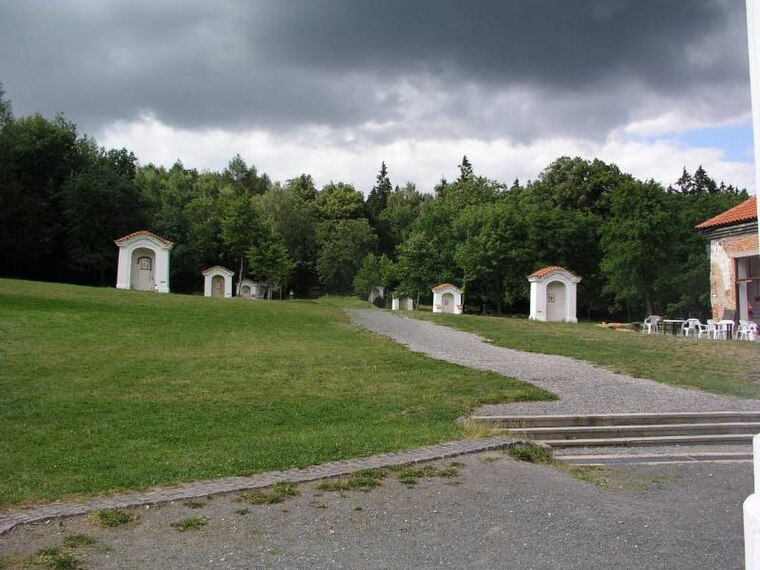
Photo: JAn Dudík, Public domain.
Skalka is a locality, which is situated 3 km northeast of Kytínská louka.
Kytínská louka
- Type: Meadow
- Location: Dobříš, Příbram District, Central Bohemia, Czech Republic, Central Europe, Europe
- View on OpenStreetMap
Latitude
49.86585° or 49° 51′ 57″ northLongitude
14.21598° or 14° 12′ 58″ eastOpen location code
8FXPV688+89OpenStreetMap ID
way 327631623OpenStreetMap feature
landuse=meadow
This page is based on OpenStreetMap, Wikidata, and Wikimedia Commons.
We’d love your help improving our open data sources. Thank you for contributing.
Satellite Map
Discover Kytínská louka from above in high-definition satellite imagery.
Notable Places Nearby
Highlights include U Lávek and Vrážky [Dobříš].
Nearby Places
Explore places such as U Dernerů and Kytara.
Central Bohemia: Must-Visit Destinations
Delve into Prague, Kutná Hora, Kladno, and Mladá Boleslav.
Curious Meadows to Discover
Uncover intriguing meadows from every corner of the globe.
About Mapcarta. Data © OpenStreetMap contributors and available under the Open Database License". Text is available under the CC BY-SA 4.0 license, except for photos, directions, and the map. Photo: Zdeněk Fiedler, CC BY-SA 3.0.