Ertheneburg
Ertheneburg is an archaeological site in Schnakenbek, District of Duchy of Lauenburg, Schleswig-Holstein. Ertheneburg is situated nearby to the forest Ruheforst Hohes Elbufer, as well as near the church St.-Johannis-Kapelle.| Tap on a place to explore it |
Photo: Zweedorf22, CC0.
Places of Interest Nearby
Highlights include St.-Johannis-Kapelle and St. Nicolai.
St.-Johannis-Kapelle
Church
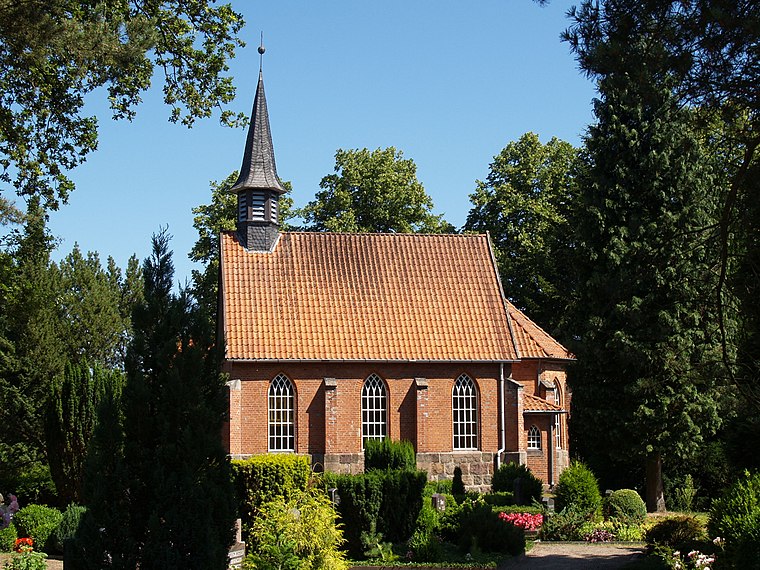
Photo: Matzematik, CC BY-SA 3.0.
St.-Johannis-Kapelle is a church, which is situated 620 metres northeast of Ertheneburg.
St. Nicolai
Church

Photo: Warrel040, CC BY-SA 4.0.
St. Nicolai is a church, which is situated 1 km southwest of Ertheneburg.
Elbeniederung von Hohnstorf bis Artlenburg
Nature reserve

Photo: Jom, CC BY-SA 3.0.
Elbeniederung von Hohnstorf bis Artlenburg is a nature reserve.
Places in the Area
Nearby places include Artlenburg and Schnakenbek.
Artlenburg
Village
Photo: Warrel040, CC BY-SA 4.0.
Artlenburg is a municipality in the district of Lüneburg, in Lower Saxony, Germany. Artlenburg has an area of 11.85 km2 and a population of 1,619.
Schnakenbek
Village
Photo: Matzematik, CC BY-SA 3.0.
Schnakenbek is a municipality in the district of Lauenburg, in Schleswig-Holstein, Germany.
Krüzen
Village
Krüzen is a municipality in the district of Lauenburg, in Schleswig-Holstein, Germany. Krüzen is situated 3½ km northeast of Ertheneburg.
Ertheneburg
- Type: Archaeological site
- Description: castle ruin
- Categories: castle ruin, historic site, tourist attraction, and tourism
- Location: Schnakenbek, District of Duchy of Lauenburg, Schleswig-Holstein, Germany, Central Europe, Europe
- View on OpenStreetMap
Latitude
53.3786° or 53° 22′ 43″ northLongitude
10.49644° or 10° 29′ 47″ eastInception
<1026Open location code
9F5G9FHW+CHOpenStreetMap ID
way 33071812OpenStreetMap feature
historic=archaeological_siteWikidata ID
Q1119703
This page is based on OpenStreetMap, Wikidata, and Wikimedia Commons.
We’d love your help improving our open data sources. Thank you for contributing.
Satellite Map
Discover Ertheneburg from above in high-definition satellite imagery.
In Other Languages
From German to Russian—“Ertheneburg” goes by many names.
- German: “Ertheneburg”
- Russian: “Эртенебург”
Notable Places Nearby
Highlights include Ruheforst Hohes Elbufer and Gemeindehaus.
Nearby Places
Explore places such as Alt- und Totholz - voller Leben and Alter Sandkrug.
Schleswig-Holstein: Must-Visit Destinations
Delve into Kiel, Lübeck, Flensburg, and Heligoland.
Curious Archaeological Sites to Discover
Uncover intriguing archaeological sites from every corner of the globe.
About Mapcarta. Data © OpenStreetMap contributors and available under the Open Database License". Text is available under the CC BY-SA 4.0 license, except for photos, directions, and the map. Photo: Zweedorf22, CC0.