Baldwins Gate Grange
Baldwins Gate Grange is in Whitmore, Newcastle-under-Lyme District, England. Baldwins Gate Grange is situated nearby to Baldwin’s Gate Methodist Church, as well as near Staffordshire Smallbore Rifle Association.| Tap on a place to explore it |
Places of Interest Nearby
Highlights include Church of St Peter and Church of St Mary and All Saints.
Church of St Peter
Church
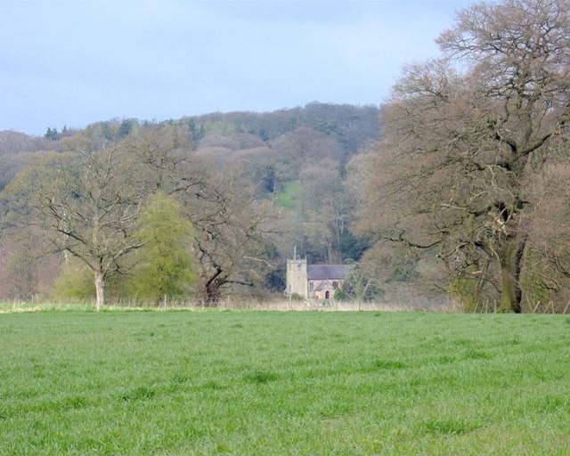
Photo: Simon Huguet, CC BY-SA 2.0.
Church of St Peter is situated 1 mile south of Baldwins Gate Grange.
Church of St Mary and All Saints
Church

Photo: Andy and Hilary, CC BY-SA 2.0.
Church of St Mary and All Saints is situated 1½ miles northeast of Baldwins Gate Grange.
Church of St Lawrence
Church
 Church of St Lawrence is situated 2 miles southeast of Baldwins Gate Grange.
Places in the Area
Nearby places include Baldwin’s Gate and Whitmore.
Baldwin’s Gate
Village

Photo: charles c, CC BY-SA 2.0.
Baldwin's Gate is a village in the Borough of Newcastle-under-Lyme in Staffordshire. The population details for the 2011 census can be found under Whitmore.
Whitmore
Village

Photo: Andy and Hilary, CC BY-SA 2.0.
Whitmore is a village, civil parish and small curacy in the county of Staffordshire, England, near Newcastle-under-Lyme.
Acton
Hamlet

Photo: Steve Lewin, CC BY-SA 2.0.
Acton is a hamlet in the Borough of Newcastle-under-Lyme, Staffordshire. It lies within the civil parish of Whitmore, four miles south west of Newcastle close to the junction of the A53 and the A5182, Trentham Road. Newcastle-under-Lyme District Council has… Acton is situated 2½ miles east of Baldwins Gate Grange.
Baldwins Gate Grange
Latitude
52.95791° or 52° 57′ 29″ northLongitude
-2.31528° or 2° 18′ 55″ westOperator
BellwayOpen location code
9C4VXM5M+5VOpenStreetMap ID
way 334610324OpenStreetMap feature
landuse=construction
This page is based on OpenStreetMap, Wikidata, and Wikimedia Commons.
We’d love your help improving our open data sources. Thank you for contributing.
Satellite Map
Discover Baldwins Gate Grange from above in high-definition satellite imagery.
Notable Places Nearby
Highlights include Baldwin’s Gate Methodist Church and Staffordshire Smallbore Rifle Association.
Nearby Places
Explore places such as Baldwin’s Gate Farm and Baldwings Gate Grange.
Staffordshire: Must-Visit Destinations
Delve into Stoke-on-Trent, Lichfield, Stafford, and Tamworth.
Curious Places to Discover
Uncover intriguing places from every corner of the globe.
About Mapcarta. Data © OpenStreetMap contributors and available under the Open Database License". Text is available under the CC BY-SA 4.0 license, except for photos, directions, and the map. Photo: Wikimedia, CC0.