Pinaret de Can Vairet
Pinaret de Can Vairet is a forest in Calvià, Balearic Islands. Pinaret de Can Vairet is situated nearby to the suburb Son Ferrer, as well as near the locality Son Llebre.| Tap on a place to explore it |
Places of Interest
Highlights include Puig de Sa Morisca (archaeological park) and Son Ferrer step turriform.
Puig de Sa Morisca (archaeological park)
Archaeological site
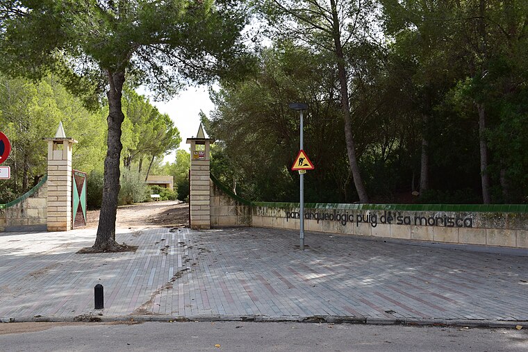
Photo: Dreizung, CC BY-SA 4.0.
The Puig de sa Morisca Archaeological Park is located in Santa Ponsa in the municipality of Calvià on the island of Majorca, part of the Spanish autonomous community of the Balearic Islands.
Son Ferrer step turriform
Paleontological site

Photo: Wikimedia, Public domain.
Son Ferrer step turriform is a paleontological site.
Puig de Sa Morisca
Archaeological site

Photo: Fullet, CC BY-SA 3.0.
Puig de Sa Morisca is an archaeological site.
Places in the Area
Nearby places include Magaluf and Santa Ponsa.
Magaluf

Photo: Michiel1972, CC BY-SA 3.0.
Magaluf is a major holiday resort in the Serra de Tramuntana region of Mallorca, a short way west of the capital Palma. It's notorious for its raucous young holiday-makers binge-drinking in the pubs and clubs.
Santa Ponsa
Town
 Santa Ponsa is a small town in the southwest of Mallorca. Located in the municipality of Calvià, it is 18 kilometres from the capital Palma.
Son Ferrer
Suburb

Photo: Wikimedia, CC BY-SA 3.0.
Son Ferrer is a new village in the municipality of Calvià on the island of Majorca, part of the Spanish autonomous community of the Balearic Islands. Son Ferrer is located about 20 km from the capital, Palma de Mallorca.
Pinaret de Can Vairet
- Type: Forest
- Location: Calvià, Balearic Islands, Spain, Iberia, Europe
- View on OpenStreetMap
Latitude
39.4916° or 39° 29′ 30″ northLongitude
2.4976° or 2° 29′ 52″ eastOpen location code
8FF4FFRX+J3OpenStreetMap ID
way 355036562OpenStreetMap feature
natural=wood
This page is based on OpenStreetMap, Wikidata, and Wikimedia Commons.
We’d love your help improving our open data sources. Thank you for contributing.
Satellite Map
Discover Pinaret de Can Vairet from above in high-definition satellite imagery.
Localities in the Area
Explore places such as Can Vairet and Son Llebre.
Notable Places Nearby
Highlights include Berenador de Son Ferrer and IES Son Ferrer.
Balearic Islands: Must-Visit Destinations
Delve into Palma de Mallorca, Formentera, Ibiza, and Maó.
Curious Forests to Discover
Uncover intriguing forests from every corner of the globe.
About Mapcarta. Data © OpenStreetMap contributors and available under the Open Database License". Text is available under the CC BY-SA 4.0 license, except for photos, directions, and the map. Photo: anieto2k, CC BY-SA 2.0.