Magazzino 9-16
Magazzino 9-16 is an industrial building in Monrupino-Repentabor, Province of Trieste, Friuli-Venezia Giulia. Magazzino 9-16 is situated nearby to the ruins Dolina dei Druidi, as well as near Cavernetta presso le Tre Querce.| Tap on a place to explore it |
Places of Interest Nearby
Highlights include Riserva naturale regionale del Monte Orsario / Deželni naravni rezervat Medvedjak and Abisso di Trebiciano.
Riserva naturale regionale del Monte Orsario / Deželni naravni rezervat Medvedjak
Nature reserve

Photo: Riccardo Zucco, CC BY-SA 4.0.
Riserva naturale regionale del Monte Orsario / Deželni naravni rezervat Medvedjak is a nature reserve.
Abisso di Trebiciano
Cave

Photo: Wikimedia, Public domain.
Abisso di Trebiciano is a cave, which is situated 1½ km southeast of Magazzino 9-16.
Villa Opicina railway station
Railway station
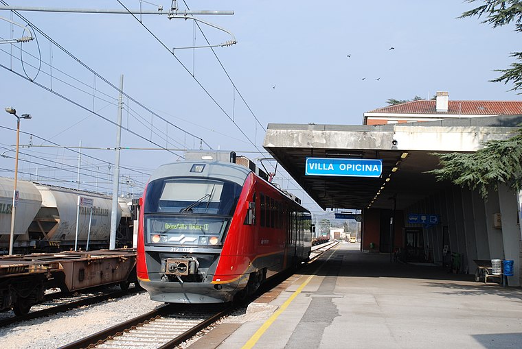
Photo: Pklos, CC BY-SA 4.0.
Villa Opicina railway station is situated 2½ km west of Magazzino 9-16.
Places in the Area
Nearby places include Orlek and Dol pri Vogljah.
Orlek
Village
Orlek is a village in the Municipality of Sežana in the Littoral region of Slovenia on the border with Italy.
Dol pri Vogljah
Hamlet

Photo: Ajznponar, CC BY-SA 3.0.
Dol pri Vogljah is a settlement in the Municipality of Sežana in the Littoral region of Slovenia on the border with Italy. Dol pri Vogljah is situated 3 km north of Magazzino 9-16.
Opicina
Town
Opicina, formerly Poggioreale del Carso in Italian, is a town in northeastern Italy, close to the Slovenian border at Fernetti. Opicina is a frazione of the comune of Trieste, the provincial and regional capital. Opicina is situated 3 km southwest of Magazzino 9-16.
Magazzino 9-16
- Type: Industrial building
- Categories: building, factory, and industry
- Location: Monrupino-Repentabor, Province of Trieste, Friuli-Venezia Giulia, Northeast Italy, Italy, Europe
- View on OpenStreetMap
Latitude
45.69866° or 45° 41′ 55″ northLongitude
13.82356° or 13° 49′ 25″ eastHeight
9 metres (30 feet)Open location code
8FQMMRXF+FCOpenStreetMap ID
way 36689039OpenStreetMap feature
building=industrialOpenStreetMap feature
man_made=works
This page is based on OpenStreetMap, Wikidata, and Wikimedia Commons.
We’d love your help improving our open data sources. Thank you for contributing.
Satellite Map
Discover Magazzino 9-16 from above in high-definition satellite imagery.
Places with the Same Name
Discover other places named “Magazzino 9-16”.
Notable Places Nearby
Highlights include Dolina dei Druidi and Cavernetta presso le Tre Querce.
Nearby Places
Explore places such as Magazzino 17-20 and Interporto di Trieste Giacomo Borruso.
Friuli-Venezia Giulia: Must-Visit Destinations
Delve into Trieste, Udine, Aquileia, and Gorizia.
Curious Industrial Buildings to Discover
Uncover intriguing industrial buildings from every corner of the globe.
About Mapcarta. Data © OpenStreetMap contributors and available under the Open Database License". Text is available under the CC BY-SA 4.0 license, except for photos, directions, and the map. Photo: T137, CC BY-SA 3.0.