Campo Municipal Diego Mateo ‘Zarra’
Campo Municipal Diego Mateo ‘Zarra’ is a pitch in Talavera de la Reina, Toledo, Castile-La Mancha. Campo Municipal Diego Mateo ‘Zarra’ is situated nearby to the pitch Skate Park, as well as near Pista de Atletismo La Alameda.| Tap on a place to explore it |
Places of Interest Nearby
Highlights include Parque de la Alameda, Talavera de la Reina and Basilica of Nuestra Señora del Prado.
Parque de la Alameda, Talavera de la Reina
Park

Photo: Javiergil73, CC BY-SA 3.0.
Parque de la Alameda, Talavera de la Reina is a park, which is situated 480 metres northwest of Campo Municipal Diego Mateo ‘Zarra’.
Basilica of Nuestra Señora del Prado
Church

Photo: Javiergil73, CC BY-SA 3.0.
The Basilica of Nuestra Señora del Prado is a Roman Catholic basilica in Talavera de la Reina, Spain. Basilica of Nuestra Señora del Prado is situated 590 metres northwest of Campo Municipal Diego Mateo ‘Zarra’.
Castilla–La Mancha Bridge
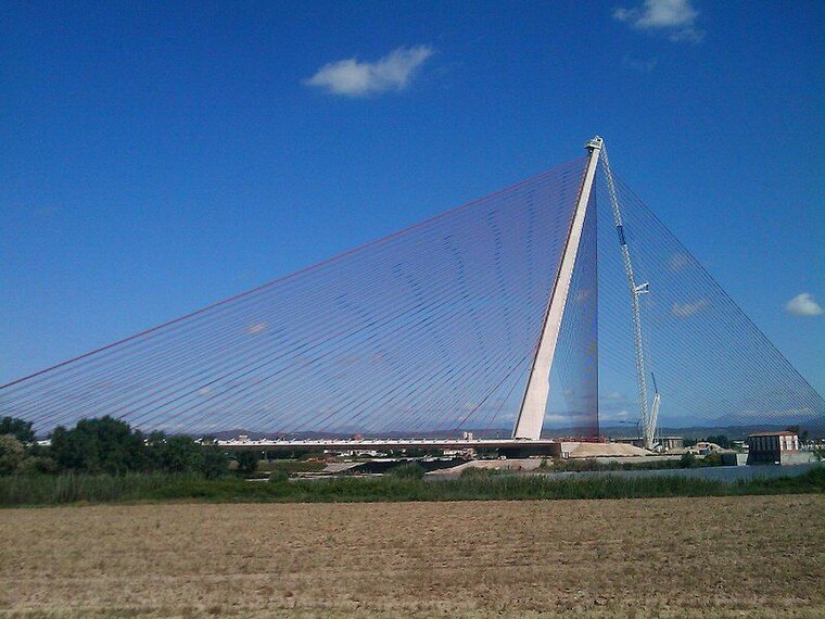
Photo: Nyeke, CC BY-SA 4.0.
The Castilla–La Mancha Bridge is a cable-stayed bridge in Talavera de la Reina, Spain. Castilla–La Mancha Bridge is situated 1 km southeast of Campo Municipal Diego Mateo ‘Zarra’.
Places in the Area
Nearby places include Talavera de la Reina and Talavera la Nueva.

Talavera la Nueva
Village
 Talavera la Nueva is an EATIM belonging to the municipality of Talavera de la Reina, Spain. Talavera la Nueva is situated 7 km west of Campo Municipal Diego Mateo ‘Zarra’.
Mejorada
Village

Photo: Benjamín Núñez González, CC BY-SA 4.0.
Mejorada is a village located in the province of Toledo, Castile-La Mancha, Spain. According to the 2017 census, the municipality has a population of 2,809 inhabitants. Mejorada is situated 8 km northwest of Campo Municipal Diego Mateo ‘Zarra’.
Campo Municipal Diego Mateo ‘Zarra’
- Type: Pitch
- Categories: recreation area, football, and sports location
- Location: Talavera de la Reina, Toledo, Castile-La Mancha, Central Spain, Spain, Iberia, Europe
- View on OpenStreetMap
Latitude
39.95659° or 39° 57′ 24″ northLongitude
-4.81782° or 4° 49′ 4″ westOpen location code
8CFQX54J+JVOpenStreetMap ID
way 366969887OpenStreetMap feature
leisure=pitchOpenStreetMap feature
sport=soccer
This page is based on OpenStreetMap, Wikidata, and Wikimedia Commons.
We’d love your help improving our open data sources. Thank you for contributing.
Satellite Map
Discover Campo Municipal Diego Mateo ‘Zarra’ from above in high-definition satellite imagery.
Notable Places Nearby
Highlights include Skate Park and Pista de Atletismo La Alameda.
Nearby Places
Explore places such as Bar Zarra and Pistas de Atletismo.
Castile-La Mancha: Must-Visit Destinations
Delve into Toledo, Albacete, Cuenca, and Ciudad Real.
Curious Pitches to Discover
Uncover intriguing pitches from every corner of the globe.
About Mapcarta. Data © OpenStreetMap contributors and available under the Open Database License". Text is available under the CC BY-SA 4.0 license, except for photos, directions, and the map. Photo: Diliff, CC BY-SA 3.0.