Außerlehen
Außerlehen is a farm in Krumbach, Wiener Neustadt District, Lower Austria. Außerlehen is situated nearby to the peak Waldbauernriegel, as well as near Hutwisch.| Tap on a place to explore it |
Places of Interest Nearby
Highlights include Kernstockwarte and Pfarrkirche hl. Bartholomäus, Hochneukirchen.
Kernstockwarte
Scenic viewpoint

Photo: Bwag, CC BY-SA 4.0.
Kernstockwarte is a scenic viewpoint, which is situated 3 km southeast of Außerlehen.
Pfarrkirche hl. Bartholomäus, Hochneukirchen
Church

Photo: Bwag, CC BY 3.0 at.
Pfarrkirche hl. Bartholomäus, Hochneukirchen is a church, which is situated 3 km south of Außerlehen.
Hutwisch
Peak

Photo: Bwag, CC BY-SA 4.0.
Hutwisch is a peak, which is situated 3 km southeast of Außerlehen.
Places in the Area
Nearby places include Dreihütten and Stuben.
Dreihütten
Village

Photo: Tsui, CC BY-SA 4.0.
Dreihütten is a village, which is situated 7 km south of Außerlehen.
Stuben
Village
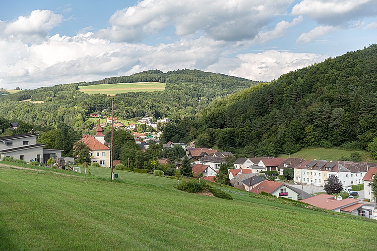
Photo: Tsui, CC BY-SA 4.0.
Stuben is a village, which is situated 7 km southeast of Außerlehen.
Schmiedrait
Village

Photo: Tsui, CC BY-SA 4.0.
Schmiedrait is a village, which is situated 8 km south of Außerlehen.
Außerlehen
- Type: Farm
- Category: agriculture
- Location: Krumbach, Wiener Neustadt District, Lower Austria, Austria, Central Europe, Europe
- View on OpenStreetMap
Latitude
47.48253° or 47° 28′ 57″ northLongitude
16.19045° or 16° 11′ 26″ eastOpen location code
8FVRF5MR+25OpenStreetMap ID
way 368299007OpenStreetMap feature
landuse=farmyard
This page is based on OpenStreetMap, Wikidata, and Wikimedia Commons.
We’d love your help improving our open data sources. Thank you for contributing.
Satellite Map
Discover Außerlehen from above in high-definition satellite imagery.
Notable Places Nearby
Highlights include Hofkapelle Möltern and Steinkreis.
Nearby Places
Explore places such as Gumpoldshof and Möltern Hochneukirchenstraße.
Lower Austria: Must-Visit Destinations
Delve into St. Pölten, Wiener Neustadt, Amstetten, and Klosterneuburg.
Curious Farms to Discover
Uncover intriguing farms from every corner of the globe.
About Mapcarta. Data © OpenStreetMap contributors and available under the Open Database License". Text is available under the CC BY-SA 4.0 license, except for photos, directions, and the map. Photo: Lonezor, CC BY-SA 3.0.