Pfarramt/Gemeindehaus St. Marien
Pfarramt/Gemeindehaus St. Marien is a building in Rödental, Landkreis Coburg, Bavaria which is located on Kirchplatz. Pfarramt/Gemeindehaus St. Marien is situated nearby to the community center Pfarrbüro und Gemeindezentrum St. Marien Einberg, as well as near the church St. Mary (Einberg).| Tap on a place to explore it |
Places of Interest Nearby
Highlights include St. Mary (Einberg) and St. John (Oeslau).

St. John (Oeslau)
Church

Photo: Störfix, CC BY-SA 3.0.
St. John (Oeslau) is a church, which is situated 1 km west of Pfarramt/Gemeindehaus St. Marien.
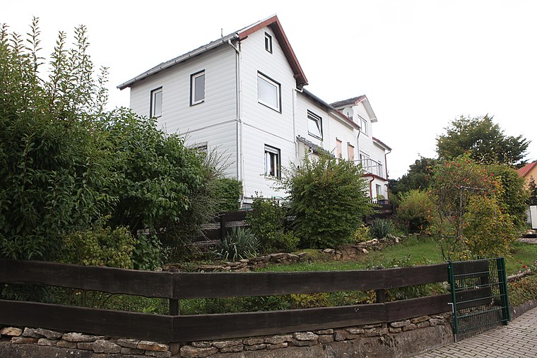
Cultural heritage D-4-73-159-16 in Rödental
Building

Photo: Störfix, CC BY-SA 3.0.
Cultural heritage D-4-73-159-16 in Rödental is a building, which is situated 2 km northeast of Pfarramt/Gemeindehaus St. Marien.
Places in the Area
Nearby places include Alexandrinenthal and Waldsachsen.
Alexandrinenthal
Neighborhood

Photo: Wikimedia, CC BY-SA 3.0 de.
Alexandrinenthal is a neighborhood.

Pfarramt/Gemeindehaus St. Marien
- Type: Building
- Address: Kirchplatz 7, Einberg, Rödental, 96472
- Location: Rödental, Landkreis Coburg, Upper Franconia, Franconia, Bavaria, Germany, Central Europe, Europe
- View on OpenStreetMap
Latitude
50.28732° or 50° 17′ 14″ northLongitude
11.04529° or 11° 2′ 43″ eastOpen location code
9F2H72PW+W4OpenStreetMap ID
way 374047896OpenStreetMap feature
building=yes
This page is based on OpenStreetMap, Wikidata, and Wikimedia Commons.
We’d love your help improving our open data sources. Thank you for contributing.
Satellite Map
Discover Pfarramt/Gemeindehaus St. Marien from above in high-definition satellite imagery.
Notable Places Nearby
Highlights include Pfarrbüro und Gemeindezentrum St. Marien Einberg and VfB Einberg 1923 e.V..
Nearby Places
Explore places such as Einberger Geschenkestube and Schnetter Bernd Blumen und Gärtnerei.
Upper Franconia: Must-Visit Destinations
Delve into Bamberg, Bayreuth, Coburg, and Hof.
Curious Buildings to Discover
Uncover intriguing buildings from every corner of the globe.
About Mapcarta. Data © OpenStreetMap contributors and available under the Open Database License". Text is available under the CC BY-SA 4.0 license, except for photos, directions, and the map. Photo: Wikimedia, CC0.