Carrickfergus Cricket Club
Carrickfergus Cricket Club is a sports venue in Mid and East Antrim, Northern Ireland. Carrickfergus Cricket Club is situated nearby to Middle Road Post Office, as well as near the forest The Glenn.| Tap on a place to explore it |
Places of Interest Nearby
Highlights include Clipperstown railway station and Carrickfergus Grammar School.
Clipperstown railway station
Railway station

Photo: Albert Bridge, CC BY-SA 2.0.
Clipperstown railway station serves the west of Carrickfergus in County Antrim, Northern Ireland. Clipperstown station is within walking distance of the larger Carrickfergus station, however road connections between the two are much more complicated. Clipperstown railway station is situated 1¼ miles south of Carrickfergus Cricket Club.
Carrickfergus Grammar School
School
Carrickfergus Grammar School is a controlled grammar school situated in Carrickfergus, County Antrim, Northern Ireland. Since opening in 1962 with 60 pupils and 4 teachers, its pupil numbers have increased to just over 800 pupils from ages 11 to 18 in Years 8 to 14. Carrickfergus Grammar School is situated 3,100 feet southeast of Carrickfergus Cricket Club.
Carrickfergus College
College building
Carrickfergus College was a secondary school in Carrickfergus, County Antrim, Northern Ireland. The college was opened in 1959 and has over 750 students and 52 teachers. It is within the North Eastern Education and Library Board. Carrickfergus College is situated 4,200 feet southeast of Carrickfergus Cricket Club.
Places in the Area
Nearby places include Carrickfergus and Straid.
Carrickfergus

Photo: Adam Bishop, CC BY-SA 3.0.
Carrickfergus is a large town 12 miles northeast of Belfast, historically in County Antrim. It grew up around the 12th-century Norman castle that is now the centre of its tourism business.
Straid
Village
Straid is a small village in County Antrim, Northern Ireland, about three miles east of Ballyclare, and about six miles inland from Carrickfergus. It lies at the centre of the townland of Straidlands, in the Civil Parish of Ballynure within the Antrim and Newtownabbey Borough Council area, and in the former barony of Belfast Lower. Straid is situated 4 miles west of Carrickfergus Cricket Club.
Jordanstown
Suburb
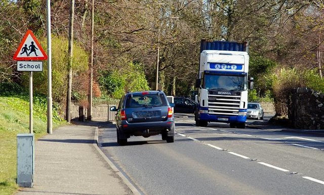
Photo: Albert Bridge, CC BY-SA 2.0.
Jordanstown is a townland and electoral ward in County Antrim, Northern Ireland. It is within the urban area of Newtownabbey and the Antrim and Newtownabbey Borough Council area. Jordanstown is situated 4 miles southwest of Carrickfergus Cricket Club.
Carrickfergus Cricket Club
- Type: Sports venue
- Categories: cricket, building, recreation area, and sports location
- Location: Mid and East Antrim, Northern Ireland, United Kingdom, Britain and Ireland, Europe
- View on OpenStreetMap
Latitude
54.73379° or 54° 44′ 2″ northLongitude
-5.82927° or 5° 49′ 45″ westOpen location code
9C6PP5MC+G7OpenStreetMap ID
way 376075646OpenStreetMap feature
building=yesOpenStreetMap feature
leisure=sports_centreOpenStreetMap feature
sport=cricket
This page is based on OpenStreetMap, Wikidata, and Wikimedia Commons.
We’d love your help improving our open data sources. Thank you for contributing.
Satellite Map
Discover Carrickfergus Cricket Club from above in high-definition satellite imagery.
Notable Places Nearby
Highlights include Middle Road Post Office and The Glenn.
Nearby Places
Explore places such as BP and Junior’s.
Northern Ireland: Must-Visit Destinations
Delve into Belfast, Derry, Giant’s Causeway, and Armagh.
Curious Sports Venues to Discover
Uncover intriguing sports venues from every corner of the globe.
About Mapcarta. Data © OpenStreetMap contributors and available under the Open Database License". Text is available under the CC BY-SA 4.0 license, except for photos, directions, and the map. Photo: Chmee2, CC BY 3.0.