Neuweilerplatz
Neuweilerplatz is a square in Basel, Canton of Basel-City. Neuweilerplatz is situated nearby to the cave Bunker N°5, as well as near the church Kirchgemeindehaus Stephanus.| Tap on a place to explore it |
Places of Interest Nearby
Highlights include Allerheiligenkirche and Basel Zoo.
Allerheiligenkirche
Church

Photo: EinDao, CC BY-SA 4.0.
Allerheiligenkirche is a church, which is situated 290 metres east of Neuweilerplatz.
Basel Zoo
Zoo
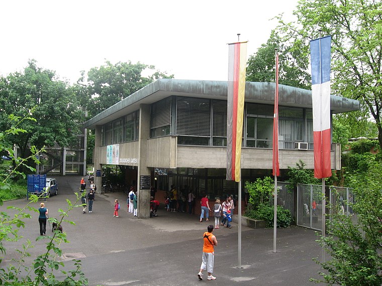
Photo: TeamBurton, Public domain.
Zoo Basel is a non-profit zoo in the city of Basel, Switzerland. Its official name is Zoologischer Garten Basel — or in English: Basel Zoological Garden. Basel Zoo is situated 1 km east of Neuweilerplatz.
Basel SBB Railway Station
Railway station

Photo: Chiccodoro, CC BY-SA 4.0.
Basel SBB railway station is the central railway station in the city of Basel, Switzerland. Opened in 1854, and completely rebuilt in 1900–1907, it is Europe's busiest international border station. Basel SBB Railway Station is situated 2 km east of Neuweilerplatz.
Places in the Area
Nearby places include Binningen and Basel-Gundeldingen.
Binningen
Town

Photo: Daendy, CC BY-SA 3.0.
Binningen is a municipality in the district of Arlesheim in the canton of Canton of Basel-Landschaft in Switzerland. It is nestled in a valley, on a plateau, and on two hills overlooking the city of Basel.

Allschwil
Town

Photo: Patrik Tschudin, CC BY 2.0.
Allschwil is a village and a municipality in the district of Arlesheim in the canton of Basel-Country in Switzerland. Allschwil is a seamless suburb of Basel and is located between Basel to the east and Alsace in France to the west.
Neuweilerplatz
- Type: Square
- Category: locality
- Location: Basel, Basel-Stadt, Canton of Basel-City, Northwestern Switzerland, Switzerland, Central Europe, Europe
- View on OpenStreetMap
Latitude
47.5469° or 47° 32′ 49″ northLongitude
7.56488° or 7° 33′ 54″ eastOpen location code
8FV9GHW7+QXOpenStreetMap ID
way 379760985OpenStreetMap feature
place=square
This page is based on OpenStreetMap, Wikidata, and Wikimedia Commons.
We’d love your help improving our open data sources. Thank you for contributing.
Satellite Map
Discover Neuweilerplatz from above in high-definition satellite imagery.
Notable Places Nearby
Highlights include Bunker N°5 and Filiale Basel 15 Neuweilerplatz.
Nearby Places
Explore places such as KKiosk and Neubad.
Northwestern Switzerland: Must-Visit Destinations
Delve into Liestal, Rheinfelden, and Augusta Raurica.
Curious Squares to Discover
Uncover intriguing squares from every corner of the globe.
About Mapcarta. Data © OpenStreetMap contributors and available under the Open Database License". Text is available under the CC BY-SA 4.0 license, except for photos, directions, and the map. Photo: Lucazzitto, CC BY-SA 3.0.