Byron Manor
Byron Manor is a social service facility in Byron Township, Kent, Michigan. Byron Manor is situated nearby to Byron Center Protestant Reformed Church, as well as near Pathway Church.| Tap on a place to explore it |
Places in the Area
Nearby places include Kentwood and Charter Township of Gaines.
Kentwood
Town
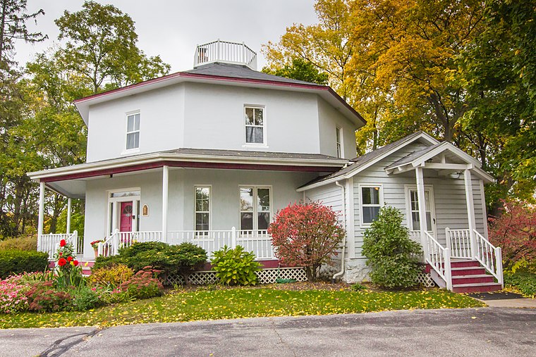
Photo: Wingerham52, CC BY-SA 4.0.
Kentwood is a city in Kent County in the U.S. state of Michigan. The population was 54,304 as of the 2020 census. The city is bordered on the northwest by Grand Rapids and is the third most-populated municipality in the Grand Rapids metropolitan area. Kentwood is situated 5 miles northeast of Byron Manor.
Charter Township of Gaines
Suburb
Gaines Charter Township is a charter township of Kent County in the U.S. state of Michigan. The population was 28,812 at the 2020 census. The township is part of the Grand Rapids metropolitan area and is located about 3.0 miles south of the city of Grand Rapids. Charter Township of Gaines is situated 6 miles east of Byron Manor.
Byron Manor
- Type: Social service facility
- Category: building
- Location: Byron Township, Kent, Michigan, Midwest, United States, North America
- View on OpenStreetMap
Latitude
42.81356° or 42° 48′ 49″ northLongitude
-85.71586° or 85° 42′ 57″ westOpen location code
86JPR77M+CMOpenStreetMap ID
way 381209735OpenStreetMap feature
amenity=social_facilityOpenStreetMap feature
building=yes
This page is based on OpenStreetMap, Wikidata, and Wikimedia Commons.
We’d love your help improving our open data sources. Thank you for contributing.
Satellite Map
Discover Byron Manor from above in high-definition satellite imagery.
Notable Places Nearby
Highlights include Byron Center Protestant Reformed Church and Byron Center USPS.
Nearby Places
Explore places such as Byron Manor and Byron Center Plaza.
Michigan: Must-Visit Destinations
Delve into Detroit, Ann Arbor, Lansing, and Grand Rapids.
Curious Social Service Facilities to Discover
Uncover intriguing social service facilities from every corner of the globe.
About Mapcarta. Data © OpenStreetMap contributors and available under the Open Database License". Text is available under the CC BY-SA 4.0 license, except for photos, directions, and the map. Photo: Wikimedia, CC0.