Königsbichl
Königsbichl is a farm in Schwarzenbach, Wiener Neustadt District, Lower Austria. Königsbichl is situated nearby to the scenic viewpoint Weitblick (Punkt D), as well as near Weitblick (Punkt B).| Tap on a place to explore it |
Places of Interest Nearby
Highlights include Sieggrabener Kogel and Keltendorf Schwarzenbach.

Keltendorf Schwarzenbach
Museum

Photo: Bwag, CC BY-SA 3.0.
Keltendorf Schwarzenbach is a museum, which is situated 2 km south of Königsbichl.
Pfarrkirche Sieggraben
Church
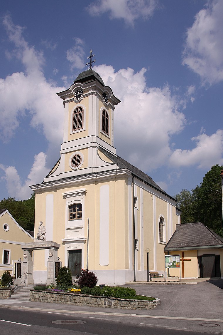
Photo: Steindy, CC BY-SA 2.0 de.
Pfarrkirche Sieggraben is a church, which is situated 1½ km east of Königsbichl.
Places in the Area
Nearby places include Mattersburg and Brennbergbánya.
Mattersburg
Town

Photo: Bwag, CC BY-SA 4.0.
Mattersburg is a town in Burgenland, Austria. It is the administrative center of the District of Mattersburg and was home to former Bundesliga football team, SV Mattersburg. Mattersburg is situated 10 km north of Königsbichl.
Brennbergbánya
Suburb

Photo: Pasztilla, CC BY-SA 4.0.
Brennbergbánya is a suburb, which is situated 10 km east of Königsbichl.
Königsbichl
- Type: Farm
- Category: agriculture
- Location: Schwarzenbach, Wiener Neustadt District, Lower Austria, Austria, Central Europe, Europe
- View on OpenStreetMap
Latitude
47.65319° or 47° 39′ 12″ northLongitude
16.35842° or 16° 21′ 30″ eastOpen location code
8FVRM935+79OpenStreetMap ID
way 381746343OpenStreetMap feature
landuse=farmyard
This page is based on OpenStreetMap, Wikidata, and Wikimedia Commons.
We’d love your help improving our open data sources. Thank you for contributing.
Satellite Map
Discover Königsbichl from above in high-definition satellite imagery.
Places with the Same Name
Discover other places named “Königsbichl”.
Notable Places Nearby
Highlights include Weitblick (Punkt D) and Weitblick (Punkt B).
Nearby Places
Explore places such as Naturwanderweg 1 Tafel 3 and Hubertus-Marterl.
Lower Austria: Must-Visit Destinations
Delve into St. Pölten, Wiener Neustadt, Amstetten, and Klosterneuburg.
Curious Farms to Discover
Uncover intriguing farms from every corner of the globe.
About Mapcarta. Data © OpenStreetMap contributors and available under the Open Database License". Text is available under the CC BY-SA 4.0 license, except for photos, directions, and the map. Photo: Lonezor, CC BY-SA 3.0.