Fare Cars
Fare Cars is a taxicab stand in Lewisham, Greater London, England. Fare Cars is situated nearby to the railway station Forest Hill, as well as near Living Springs International Church.| Tap on a place to explore it |
Places of Interest Nearby
Highlights include Forest Hill railway station and Horniman Museum.
Forest Hill railway station
Railway station
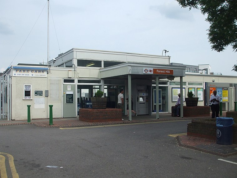
Photo: Sunil060902, CC BY-SA 3.0.
Forest Hill is an interchange station between the Windrush line of the London Overground and National Rail services operated by Southern, located in Forest Hill in the London Borough of Lewisham.
Horniman Museum
Museum
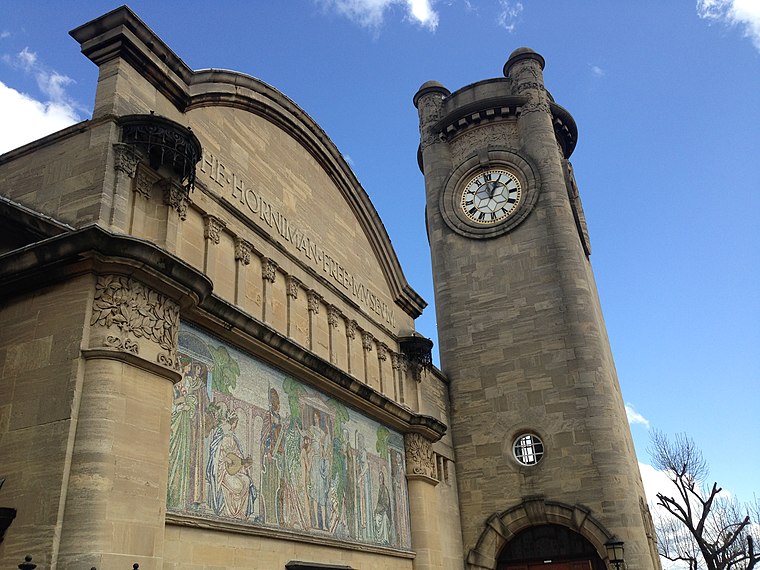
Photo: No Swan So Fine, CC BY-SA 4.0.
The Horniman Museum and Gardens is a museum in Forest Hill, London, England. Commissioned in 1898, it opened in 1901 and was designed by Charles Harrison Townsend in the Modern Style. Horniman Museum is situated 1,900 feet west of Fare Cars.
Forest Hill Pools
Sports venue

Photo: Louise McLaren, CC BY 2.0.
Forest Hill Pools is a leisure centre in Forest Hill, London. After being closed in 2006, it was rebuilt including two pools and a health and fitness suite and reopened in September 2012. Forest Hill Pools is situated 1,300 feet southwest of Fare Cars.
Places in the Area
Nearby places include Forest Hill and Perry Vale.
Forest Hill
Suburb
Photo: Love Art Nouveau, CC BY 2.0.
Forest Hill is a district of the London Borough of Lewisham in south east London, England, on the South Circular Road, which is home to the Horniman Museum.
Perry Vale
Suburb
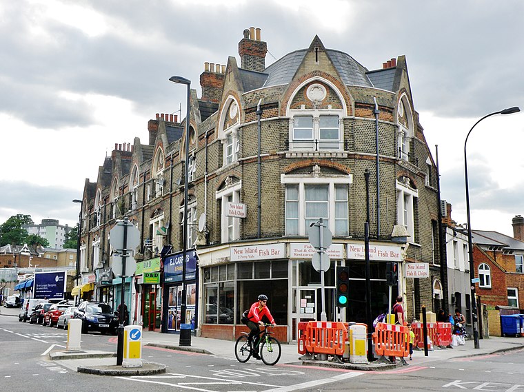
Photo: alvaro errandonea, CC BY 3.0.
Perry Vale is a neighbourhood and electoral ward in the London Borough of Lewisham. It is 10.5 km southeast of Charing Cross and located near Forest Hill to the east of Forest Hill railway station, where the railway line forms the western boundary.
Sydenham
Town
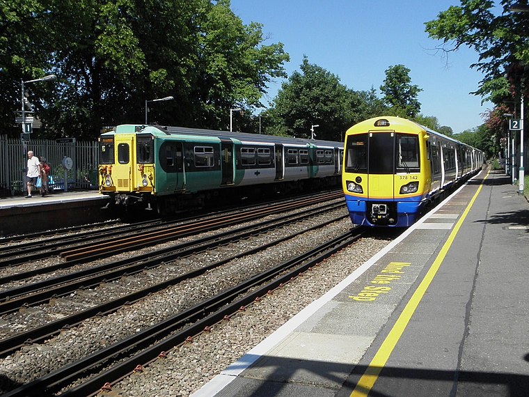
Photo: Sunil060902, CC BY-SA 3.0.
Sydenham is a district of south-east London, England, which is shared between the London boroughs of Lewisham, Bromley and Southwark. Prior to the creation of the County of London in 1889, Sydenham was located in Kent, bordering Surrey.
Fare Cars
- Type: Taxicab stand
- Categories: building, commercial building, and transportation
- Location: Lewisham, Greater London, England, United Kingdom, Britain and Ireland, Europe
- View on OpenStreetMap
Latitude
51.4394° or 51° 26′ 22″ northLongitude
-0.05326° or 0° 3′ 12″ westLevels
1Open location code
9C3XCWQW+QMOpenStreetMap ID
way 381859923OpenStreetMap feature
amenity=taxiOpenStreetMap feature
building=commercial
This page is based on OpenStreetMap, Wikidata, and Wikimedia Commons.
We’d love your help improving our open data sources. Thank you for contributing.
Satellite Map
Discover Fare Cars from above in high-definition satellite imagery.
Notable Places Nearby
Highlights include Forest Hill and Living Springs International Church.
Nearby Places
Explore places such as Forest Hill Station Carpark and Aroma.
England: Must-Visit Destinations
Delve into London, Manchester, Sheffield, and Leeds.
Curious Taxicab Stands to Discover
Uncover intriguing taxicab stands from every corner of the globe.
About Mapcarta. Data © OpenStreetMap contributors and available under the Open Database License". Text is available under the CC BY-SA 4.0 license, except for photos, directions, and the map. Photo: sidibousaid, CC BY 2.0.