Station d’épuration de Houyet
Station d’épuration de Houyet is a wastewater treatment plant in Houyet, Arrondissement de Dinant, Wallonia. Station d’épuration de Houyet is situated nearby to Chapelle Saint-Roch, as well as near the ruins Château d’Ardenne railway station.| Tap on a place to explore it |
Places of Interest Nearby
Highlights include Houyet railway station and Château d’Ardenne railway station.
Houyet railway station
Railway station
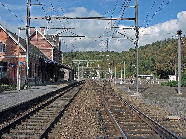
Photo: Stormbeest, CC0.
Houyet railway station is situated 730 metres southeast of Station d’épuration de Houyet.
Château d’Ardenne railway station
Ruins
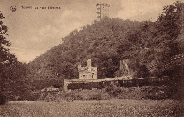
Photo: Dasjtereir, CC BY-SA 4.0.
Château d’Ardenne railway station is a ruins, which is situated 670 metres north of Station d’épuration de Houyet.
Château Miranda
Ruins
 Château Miranda, also known as Château de Noisy was a 19th-century neo-Gothic castle in Celles, province of Namur, Wallonia, Belgium, in the region of the Ardennes. Demolition of the château began in October 2016 and was completed by October 2017. Château Miranda is situated 3 km north of Station d’épuration de Houyet.
Places in the Area
Nearby places include Gendron and Ferage.

Hulsonniaux
Village
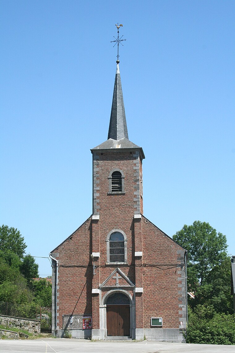
Photo: Jean-Pol GRANDMONT, CC BY 3.0.
Hulsonniaux is a village, which is situated 3½ km west of Station d’épuration de Houyet.
Station d’épuration de Houyet
- Type: Wastewater treatment plant
- Category: industry
- Location: Houyet, Arrondissement de Dinant, Namur, Wallonia, Belgium, Benelux, Europe
- View on OpenStreetMap
Latitude
50.19393° or 50° 11′ 38″ northLongitude
4.99764° or 4° 59′ 52″ eastInception
2011Operator
INASEPOpen location code
9F265XVX+H3OpenStreetMap ID
way 384338423OpenStreetMap feature
landuse=industrialOpenStreetMap feature
man_made=wastewater_plant
This page is based on OpenStreetMap, Wikidata, and Wikimedia Commons.
We’d love your help improving our open data sources. Thank you for contributing.
Satellite Map
Discover Station d’épuration de Houyet from above in high-definition satellite imagery.
Notable Places Nearby
Highlights include Chapelle Saint-Roch and Chapelle Saint-André.
Nearby Places
Explore places such as Station d’épuration de Herhet and Houyet.
Curious Wastewater Treatment Plants to Discover
Uncover intriguing wastewater treatment plants from every corner of the globe.
About Mapcarta. Data © OpenStreetMap contributors and available under the Open Database License". Text is available under the CC BY-SA 4.0 license, except for photos, directions, and the map. Photo: Jean-Pol GRANDMONT, CC BY 3.0.