Castelmorin
Castelmorin is a building in Villiers-sur-Morin, Arrondissement of Meaux, Île-de-France which is located on Rue du Bas de Villiers. Castelmorin is situated nearby to Le moulin jaune, as well as near the church Église Saint-Rémi de Villiers-sur-Morin.| Tap on a place to explore it |
Places of Interest Nearby
Highlights include Église Saint-Rémi de Villiers-sur-Morin and Gare de Villiers - Montbarbin.
Église Saint-Rémi de Villiers-sur-Morin
Church

Photo: Parisette, CC BY-SA 3.0.
Église Saint-Rémi de Villiers-sur-Morin is a church, which is situated 290 metres southwest of Castelmorin.
Gare de Villiers - Montbarbin
Railway stop

Photo: Geralix, CC BY-SA 3.0.
Gare de Villiers - Montbarbin is a railway stop, which is situated 350 metres north of Castelmorin.
War memorial of Villiers-sur-Morin
Memorial

Photo: Chabe01, CC BY-SA 4.0.
War memorial of Villiers-sur-Morin is situated 470 metres west of Castelmorin.
Places in the Area
Nearby places include Magny-le-Hongre and Serris.
Magny-le-Hongre
Village
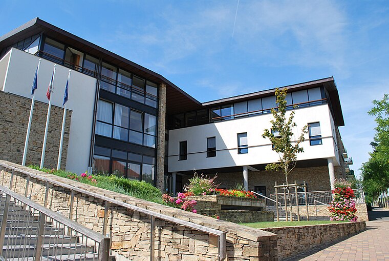
Photo: Mairiemagnylehongre, CC BY-SA 3.0.
Magny-le-Hongre is a commune in the Seine-et-Marne department in the Île-de-France region in north-central France. It is part of Val d'Europe Agglomération together with the communes of Bailly-Romainvilliers, Chessy, Coupvray and Serris. Magny-le-Hongre is situated 5 km west of Castelmorin.
Serris
Town

Photo: Rcsmit, CC BY-SA 3.0.
Serris is a commune in the Seine-et-Marne department in the Île-de-France region in north-central France. The area has an outlet mall known as La Vallée Village. Serris is situated 7 km west of Castelmorin.
Coupvray
Village

Photo: Romain D C, CC BY-SA 3.0.
Coupvray is a commune in the Seine-et-Marne department in the Île-de-France region in north-central France about 30kms east of Paris. Coupvray is situated 7 km northwest of Castelmorin.
Castelmorin
- Type: Building
- Address: 23 Rue du Bas de Villiers, Villiers-sur-Morin, 77580
- Location: Villiers-sur-Morin, Arrondissement of Meaux, Seine-et-Marne, Île-de-France, France, Europe
- View on OpenStreetMap
Latitude
48.86019° or 48° 51′ 37″ northLongitude
2.88383° or 2° 53′ 2″ eastLevels
3Open location code
8FW4VV6M+3GOpenStreetMap ID
way 386974002OpenStreetMap feature
building=yes
This page is based on OpenStreetMap, Wikidata, and Wikimedia Commons.
We’d love your help improving our open data sources. Thank you for contributing.
Satellite Map
Discover Castelmorin from above in high-definition satellite imagery.
Notable Places Nearby
Highlights include Le moulin jaune and Gare de Villiers - Montbarbin.
Nearby Places
Explore places such as Bas de Villiers and La Table du Curé.
Île-de-France: Must-Visit Destinations
Delve into Paris, Versailles, Boulogne-Billancourt, and Paris Charles de Gaulle Airport.
Curious Buildings to Discover
Uncover intriguing buildings from every corner of the globe.
About Mapcarta. Data © OpenStreetMap contributors and available under the Open Database License". Text is available under the CC BY-SA 4.0 license, except for photos, directions, and the map. Photo: Romain D C, CC BY-SA 3.0.