Freimannlehen
Freimannlehen is a farmhouse in Berchtesgaden, Upper Bavaria, Bavaria which is located on Salzburger Straße. Freimannlehen is situated nearby to the motorhome stopover Wohnmobilhafen Allweglehen, as well as near the peak Kiliansberg.| Tap on a place to explore it |
Places of Interest Nearby
Highlights include Berghof and Dokumentationszentrum Obersalzberg.
Berghof
 The Berghof was Adolf Hitler's holiday home in the Obersalzberg of the Bavarian Alps near Berchtesgaden, Bavaria, Germany. Other than the Wolfsschanze, his headquarters in East Prussia for the invasion of the Soviet Union, he spent more time here than anywhere else during his time as the Führer of Nazi Germany. Berghof is situated 2 km south of Freimannlehen.
Dokumentationszentrum Obersalzberg
Museum
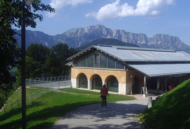
Photo: Werudolf, CC BY-SA 3.0.
Dokumentation Obersalzberg is a museum in the Obersalzberg resort near Berchtesgaden, providing information on the use of the mountainside retreat by Nazi leaders, especially Adolf Hitler who regularly spent time in this area beginning in 1928. Dokumentationszentrum Obersalzberg is situated 2 km south of Freimannlehen.

Places in the Area
Nearby places include Obersalzberg and Bischofswiesen.
Obersalzberg
Locality

Photo: Tobi85, Public domain.
Obersalzberg is a mountainside retreat situated above the market town of Berchtesgaden in Bavaria, Germany. Located about 120 kilometres south-east of Munich, close to the border with Austria, it is best known as the site of Adolf Hitler's former mountain residence, the Berghof, and of the mountaintop Kehlsteinhaus, popularly known in the English-speaking world as the "Eagle's Nest".
Bischofswiesen
Village

Photo: Papa1234, CC BY-SA 3.0.
Bischofswiesen is a municipality in the district of Berchtesgadener Land in Bavaria in Germany. Bischofswiesen is situated 6 km west of Freimannlehen.
Schönau am Königssee
Village

Photo: Geolina163, CC BY-SA 3.0.
Schönau am Königssee is a municipality in the district of Berchtesgadener Land in the German state of Bavaria. It is located at the northern end of the Königssee lake. Schönau am Königssee is situated 6 km southwest of Freimannlehen.
Freimannlehen
- Type: Farmhouse
- Address: Salzburger Straße 56, Berchtesgaden, 83471
- Categories: building and agriculture
- Location: Berchtesgaden, Berchtesgadener Land, Upper Bavaria, Bavaria, Germany, Central Europe, Europe
- View on OpenStreetMap
Latitude
47.649° or 47° 38′ 56″ northLongitude
13.03625° or 13° 2′ 11″ eastOpen location code
8FVMJ2XP+HFOpenStreetMap ID
way 387747555OpenStreetMap feature
building=farm
This page is based on OpenStreetMap, Wikidata, and Wikimedia Commons.
We’d love your help improving our open data sources. Thank you for contributing.
Satellite Map
Discover Freimannlehen from above in high-definition satellite imagery.
Notable Places Nearby
Highlights include Wohnmobilhafen Allweglehen and Kiliansberg.
Nearby Places
Explore places such as Gasthaus Laroswacht and Chalet Alpenrose.
Upper Bavaria: Must-Visit Destinations
Delve into Munich, Ingolstadt, Dachau, and Rosenheim.
Curious Farmhouses to Discover
Uncover intriguing farmhouses from every corner of the globe.
About Mapcarta. Data © OpenStreetMap contributors and available under the Open Database License". Text is available under the CC BY-SA 4.0 license, except for photos, directions, and the map. Photo: Wikimedia, CC BY-SA 4.0.