Shires Memorial Center
Shires Memorial Center is a social service facility in Santa Clara County, California which is located on North 4th Street. Shires Memorial Center is situated nearby to the place of worship First Unitarian Church of San Jose, as well as near the community center San José Bike Clinic.| Tap on a place to explore it |
Places of Interest Nearby
Highlights include First Unitarian Church of San Jose and Saint James station.
First Unitarian Church of San Jose
Place of worship

Photo: EugeneZelenko, CC BY-SA 4.0.
The First Unitarian Church of San Jose is located at 160 North Third Street in downtown San Jose, California, across from St. James Park, and was designed in "Richardsonian Romanesque" style by architect George Page, who also designed the Hayes Mansion. First Unitarian Church of San Jose is situated 370 feet southwest of Shires Memorial Center.
Saint James station
Railway station

Photo: Pedro Xing, CC0.
Saint James station is a light rail station operated by Santa Clara Valley Transportation Authority. The station is located in Downtown San Jose, California on 1st and 2nd Streets between Saint James and Saint John Streets. Saint James station is situated 1,100 feet southwest of Shires Memorial Center.
Trinity Episcopal Cathedral
Church

Photo: EugeneZelenko, CC BY-SA 4.0.
Trinity Episcopal Cathedral is an Episcopal cathedral in San Jose, California. It is the seat of the Episcopal Diocese of El Camino Real. Trinity Episcopal Cathedral is situated 1,100 feet southwest of Shires Memorial Center.
Places in the Area
Nearby places include San Jose and Downtown Historic District.
San Jose

Photo: Ed Schipul, CC BY-SA 2.0.
Often called "the capital of Silicon Valley", San Jose is the largest city in the Bay Area, 3rd largest in California, and the 12th largest city in the United States, with a population of over 997,000 residents as of 2024.
Downtown Historic District
Neighborhood

Photo: David Sawyer, CC BY-SA 2.0.
The Downtown Historic District of San Jose, California is a designated U.S. Historic District area of the city roughly the size of one square block. It is bounded by S.
Japantown
Suburb
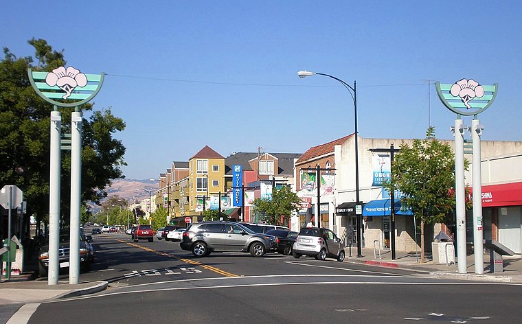
Photo: BrokenSphere, CC BY-SA 3.0.
Japantown, commonly known as J Town, is a historic cultural district of San Jose, California, north of Downtown San Jose. Historically a center for San Jose's Japanese American and Chinese American communities, San Jose's Japantown is one of only three Japantowns that still exist in the United States, alongside San Francisco's Japantown and Los Angeles's Little Tokyo.
Shires Memorial Center
- Type: Social service facility
- Address: 180 North 4th Street, San Jose, 95112
- Category: building
- Location: Santa Clara County, California, United States, North America
- View on OpenStreetMap
Latitude
37.34046° or 37° 20′ 26″ northLongitude
-121.88904° or 121° 53′ 21″ westElevation
174 feet (53 metres)Levels
11Height
92 feet (28 metres)Open location code
849W84R6+59OpenStreetMap ID
way 39018616OpenStreetMap feature
amenity=social_facilityOpenStreetMap feature
building=yes
This page is based on OpenStreetMap, Wikidata, and Wikimedia Commons.
We’d love your help improving our open data sources. Thank you for contributing.
Satellite Map
Discover Shires Memorial Center from above in high-definition satellite imagery.
Notable Places Nearby
Highlights include San José Bike Clinic and Central San Jose Church.
Nearby Places
Explore places such as Vertin San Jose Ballet School and Sabah.
California: Must-Visit Destinations
Delve into San Francisco, Los Angeles, San Diego, and Sacramento.
Curious Social Service Facilities to Discover
Uncover intriguing social service facilities from every corner of the globe.
About Mapcarta. Data © OpenStreetMap contributors and available under the Open Database License". Text is available under the CC BY-SA 4.0 license, except for photos, directions, and the map. Photo: Wikimedia, CC BY-SA 2.0.