Wattelez
Wattelez is a building in Poissy, Arrondissement of Saint-Germain-en-Laye, Île-de-France. Wattelez is situated nearby to the sports venue Gymnase du Technoparc, as well as near the post office Point poste.| Tap on a place to explore it |
Places of Interest Nearby
Highlights include Léo-Lagrange stadium and Town hall of Achères.
Léo-Lagrange stadium
Sports venue

Photo: Xavoun, CC BY-SA 3.0.
Léo-Lagrange stadium is a sports venue, which is situated 1 km southwest of Wattelez.
Town hall of Achères
Town hall

Photo: Henrysalome, CC BY-SA 3.0.
Town hall of Achères is situated 2 km north of Wattelez.
Île Saint-Louis
Islet

Photo: Wikimedia, Public domain.
Île Saint-Louis is an islet, which is situated 1½ km west of Wattelez.
Places in the Area
Nearby places include Achères and Carrières-sous-Poissy.
Achères
Town
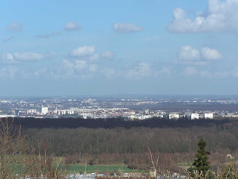
Photo: Henrysalome, CC BY-SA 3.0.
Achères is a commune in the Yvelines department in north-central France. It is located 23.7 km from the centre of Paris. The commune of Achères lies on the south bank of the Seine in a loop of the river, on the edge of the Forest of Saint-Germain-en-Laye.
Carrières-sous-Poissy
Town

Photo: Resize, CC BY-SA 3.0.
Carrières-sous-Poissy is a commune in the Yvelines department in the Île-de-France region in north-central France. The town sits on the bank of the Seine River, directly opposite the commune of Poissy.
Poissy
Town

Photo: Urbain.romain, CC BY-SA 4.0.
Poissy is a commune in the Yvelines department in the Île-de-France region in north-central France. It is located in the western suburbs of Paris, 23.8 km from the centre of Paris. Poissy is situated 2½ km southwest of Wattelez.
Wattelez
- Type: Building
- Address: Poissy, 78300
- Location: Poissy, Arrondissement of Saint-Germain-en-Laye, Yvelines, Île-de-France, France, Europe
- View on OpenStreetMap
Latitude
48.94508° or 48° 56′ 42″ northLongitude
2.06617° or 2° 3′ 58″ eastOpen location code
8FW4W3W8+2FOpenStreetMap ID
way 39474201OpenStreetMap feature
building=yes
This page is based on OpenStreetMap, Wikidata, and Wikimedia Commons.
We’d love your help improving our open data sources. Thank you for contributing.
Satellite Map
Discover Wattelez from above in high-definition satellite imagery.
Notable Places Nearby
Highlights include Gymnase du Technoparc and Point poste.
Nearby Places
Explore places such as Actémium (Groupe Vinci) and Quad Service.
Île-de-France: Must-Visit Destinations
Delve into Paris, Versailles, Boulogne-Billancourt, and Paris Charles de Gaulle Airport.
Curious Buildings to Discover
Uncover intriguing buildings from every corner of the globe.
About Mapcarta. Data © OpenStreetMap contributors and available under the Open Database License". Text is available under the CC BY-SA 4.0 license, except for photos, directions, and the map. Photo: Inkey, CC BY-SA 3.0.