Islamic Tarbiyyah Preparatory School
Islamic Tarbiyyah Preparatory School is a school in Bradford, England which is located on Ambler Street. Islamic Tarbiyyah Preparatory School is situated nearby to the suburb Manningham, as well as near Jamia Masjid Hanfia Mosque.| Tap on a place to explore it |
Places of Interest Nearby
Highlights include Valley Parade and Manningham Library.
Valley Parade
Stadium

Photo: David Ingham, CC BY-SA 2.0.
Valley Parade, currently known as University of Bradford Stadium for sponsorship reasons, is an all-seater football stadium in Bradford, West Yorkshire, England. Valley Parade is situated 2,400 feet east of Islamic Tarbiyyah Preparatory School.
Manningham Library
Library

Photo: Betty Longbottom, CC BY-SA 2.0.
Manningham Library is situated 650 feet southwest of Islamic Tarbiyyah Preparatory School.
Cartwright Hall
Museum
 Cartwright Hall is the civic art gallery in Bradford, West Yorkshire, England, situated about a mile from the city centre in the Manningham district. It was built on the former site of Manningham Hall using a gift of £40,000 donated by Samuel Lister and it is named after Edmund Cartwright. Cartwright Hall is situated 2,100 feet north of Islamic Tarbiyyah Preparatory School.
Places in the Area
Nearby places include Manningham and Lister Mills.
Manningham
Suburb
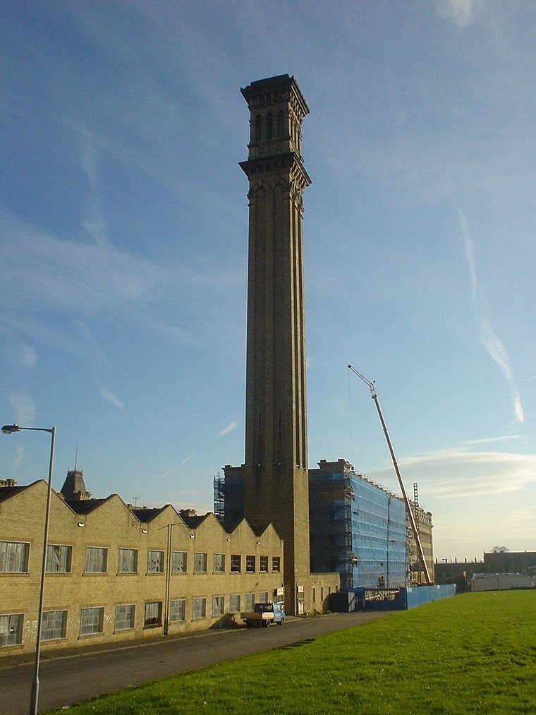
Photo: Shax, Public domain.
Manningham is a historically industrial workers area as well as a council ward of Bradford, West Yorkshire, England. The population of the 2011 Census for the Manningham Ward was 19,983.
Lister Mills
Locality

Photo: Wikimedia, Public domain.
Lister Mills was the largest silk factory in the world. It is located in the Manningham district of Bradford, West Yorkshire, England and was built by Samuel Cunliffe Lister to replace the original Manningham Mills which had been destroyed by fire in 1871.
Girlington
Neighborhood
Girlington is an area in Bradford, West Yorkshire, England. Girlington is located to the west of Bradford city centre. The majority population of Girlington are of South Asian origin, in particular Pakistani, Afghan and Bangladeshi.
Islamic Tarbiyyah Preparatory School
- Type: School
- Address: Ambler Street, Bradford, BD8 8AW
- Category: education
- Location: Bradford, England, United Kingdom, Britain and Ireland, Europe
- View on OpenStreetMap
Latitude
53.80655° or 53° 48′ 24″ northLongitude
-1.76986° or 1° 46′ 12″ westOpen location code
9C5WR64J+J3OpenStreetMap ID
way 401663733OpenStreetMap feature
amenity=school
This page is based on OpenStreetMap, Wikidata, and Wikimedia Commons.
We’d love your help improving our open data sources. Thank you for contributing.
Satellite Map
Discover Islamic Tarbiyyah Preparatory School from above in high-definition satellite imagery.
Notable Places Nearby
Highlights include Jamia Masjid Hanfia Mosque and Masjid-E-Quba.
Nearby Places
Explore places such as AutoTech and Islamic Tarbiyyah Preparatory School.
England: Must-Visit Destinations
Delve into London, Manchester, Sheffield, and Leeds.
Curious Schools to Discover
Uncover intriguing schools from every corner of the globe.
About Mapcarta. Data © OpenStreetMap contributors and available under the Open Database License". Text is available under the CC BY-SA 4.0 license, except for photos, directions, and the map. Photo: Inkey, CC BY 2.0.