Turkish Food Centre
Turkish Food Centre is a supermarket in Enfield, Greater London, England which is located on Green Lanes. Turkish Food Centre is situated nearby to Palmers Green Baptist Church, as well as near Palmers Green Spiritualist Church.| Tap on a place to explore it |
Places of Interest Nearby
Highlights include Palmers Green railway station and Bowes Park railway station.
Palmers Green railway station
Railway station
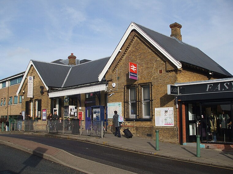
Photo: Sunil060902, CC BY-SA 3.0.
Palmers Green railway station, in Aldermans Hill, is a train station in the London Borough of Enfield in north London, located within Travelcard Zone 4. Palmers Green railway station is situated 2,200 feet north of Turkish Food Centre.
Bowes Park railway station
Railway station

Photo: Sunil060902, CC BY-SA 3.0.
Bowes Park railway station is in the London Borough of Haringey in north London, and is on the boundary of Travelcard Zone 3 and Travelcard Zone 4. It is 5 miles 55 chains down the line from London King's Cross. Bowes Park railway station is situated 3,200 feet southwest of Turkish Food Centre.
St Michael-at-Bowes
Church

Photo: Richard Nevell, CC BY-SA 3.0.
St Michael-at-Bowes is a church, which is situated 1,600 feet southwest of Turkish Food Centre.
Places in the Area
Nearby places include Palmers Green and Bowes Park.
Palmers Green
Suburb

Photo: John Salmon, CC BY-SA 2.0.
Palmers Green is a suburban area and electoral ward in north London, England, within the London Borough of Enfield. It is located within the N13 postcode district, around 8 miles north of Charing Cross.
Bowes Park
Quarter
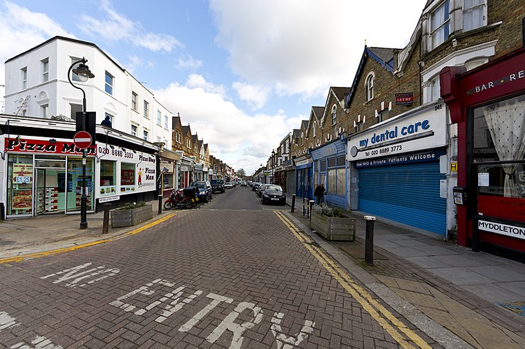
Photo: Mcsony, CC BY-SA 3.0.
Bowes Park is situated on the borders of Wood Green, Palmers Green and Bounds Green in London, England. The postcodes for Bowes Park are N11, N13 and N22.
Wood Green
Town

Photo: Vicky Ayech, CC BY-SA 2.0.
Wood Green is a suburban district of the London Borough of Haringey, London, England. Its postal district is N22, with parts in N8 or N15. The London Plan identifies it as one of the metropolitan centres in Greater London, and today it forms a major commercial district of north London.
Turkish Food Centre
- Type: Supermarket
- Address: 88 Green Lanes, London, N13 5UP
- Categories: building, shop, retail building, and food
- Location: Enfield, Greater London, England, United Kingdom, Britain and Ireland, Europe
- View on OpenStreetMap
Latitude
51.6126° or 51° 36′ 45″ northLongitude
-0.10911° or 0° 6′ 33″ westOpen location code
9C3XJV7R+29OpenStreetMap ID
way 404260493OpenStreetMap feature
building=retailOpenStreetMap feature
shop=supermarket
This page is based on OpenStreetMap, Wikidata, and Wikimedia Commons.
We’d love your help improving our open data sources. Thank you for contributing.
Satellite Map
Discover Turkish Food Centre from above in high-definition satellite imagery.
Places with the Same Name
Discover other places named “Turkish Food Centre”.
Notable Places Nearby
Highlights include Palmers Green Baptist Church and Palmers Green Spiritualist Church.
Nearby Places
Explore places such as Enterprise and North Circular Road.
England: Must-Visit Destinations
Delve into London, Manchester, Sheffield, and Leeds.
Curious Supermarkets to Discover
Uncover intriguing supermarkets from every corner of the globe.
About Mapcarta. Data © OpenStreetMap contributors and available under the Open Database License". Text is available under the CC BY-SA 4.0 license, except for photos, directions, and the map. Photo: sidibousaid, CC BY 2.0.