NCP Multi-Storey Regent Street
NCP Multi-Storey Regent Street is a parking area in Luton, England which is located on Regent Street. NCP Multi-Storey Regent Street is situated nearby to the sports venue Bannatyne’s Health Club, as well as near the community center Our Lady Help Of Christians Church Hall.| Tap on a place to explore it |
- Opening hours: 6:00 AM—10:00 PM
- Type: Parking area
- Address: Regent Street, Luton, LU1 5FA
- Parking: multi-storey
Places of Interest Nearby
Highlights include Our Lady Help of Christians Church, Luton and Luton Town Hall.
Our Lady Help of Christians Church, Luton
Church

Photo: Mugford6120, CC BY-SA 4.0.
Our Lady Help of Christians Church is a Roman Catholic Parish church in Luton, Bedfordshire. It was founded in 1845 and the present church was built in 1910. Our Lady Help of Christians Church, Luton is situated 440 feet southeast of NCP Multi-Storey Regent Street.
Luton Town Hall
Town hall

Photo: Alex Liivet, CC0.
Luton Town Hall is a building at the junction between Manchester Street, Upper George Street and George Street, Luton, England; the current building was completed in 1936 on the site of the older Town Hall, which was burnt down on 19 July 1919, following the Peace Day Riots. Luton Town Hall is situated 1,200 feet north of NCP Multi-Storey Regent Street.
Luton railway station
Railway station
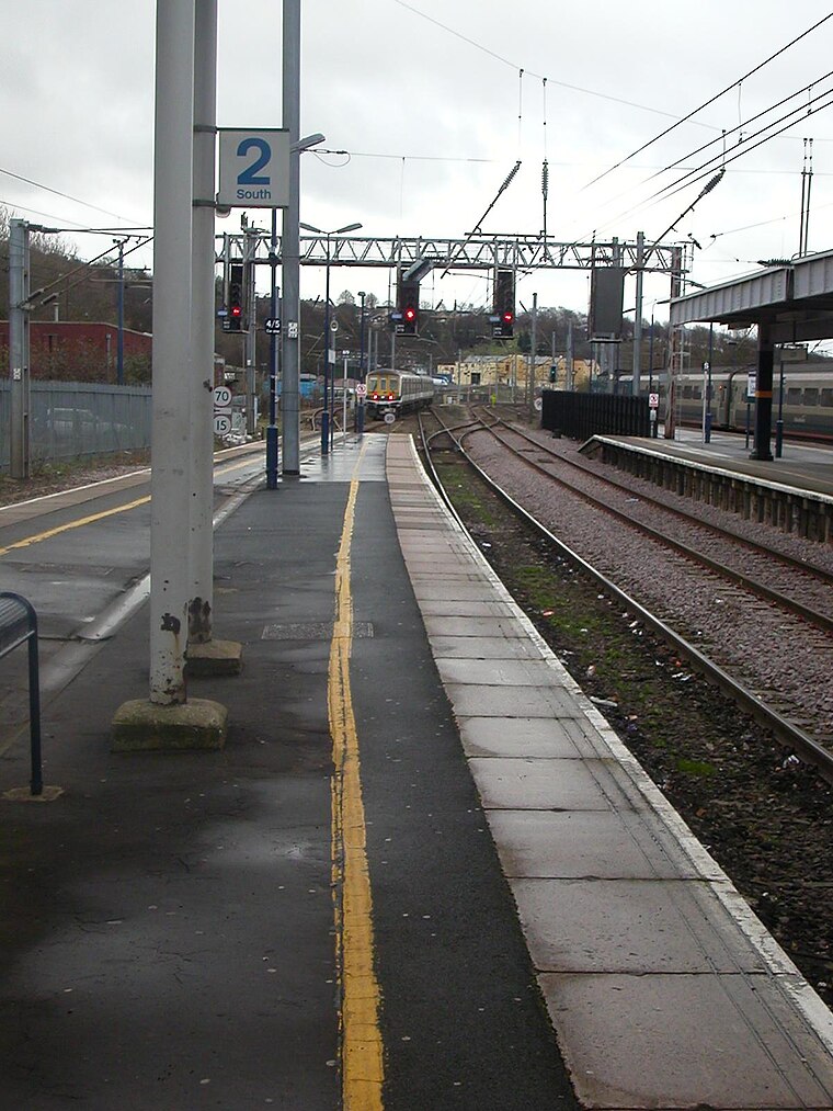
Photo: Hassocks5489, Public domain.
Luton railway station is located in the town centre of Luton, Bedfordshire, England. The station is about three minutes' walk from Luton Point Shopping Centre. It is situated on the Midland Main Line and is operated by Thameslink. Luton railway station is situated 2,300 feet north of NCP Multi-Storey Regent Street.
Places in the Area
Nearby places include High Town and Round Green.
High Town
Suburb

Photo: Wikimedia, CC BY-SA 4.0.
High Town is an inner area of Luton immediately north of Luton railway station, and a ward of the Borough of Luton, in the ceremonial county of Bedfordshire, England.
Round Green
Suburb

Photo: Nigel Cox, CC BY-SA 2.0.
Round Green is a suburb of Luton just over 1 mile north-east of the town centre, and a ward of the Borough of Luton, in the ceremonial county of Bedfordshire, England.
Slip End
Village

Photo: Nigel Cox, CC BY-SA 2.0.
Slip End is a village and civil parish in Central Bedfordshire, England. The village is very close to Luton. As well as the village of Slip End, the parish contains the hamlets of Lower Woodside, Woodside and Pepperstock. Slip End is situated 1½ miles southwest of NCP Multi-Storey Regent Street.
NCP Multi-Storey Regent Street
- Categories: building and transportation
- Location: Luton, England, United Kingdom, Britain and Ireland, Europe
- View on OpenStreetMap
Latitude
51.87669° or 51° 52′ 36″ northLongitude
-0.41744° or 0° 25′ 3″ westOperator
National Car ParksOpen location code
9C3XVHGM+M2OpenStreetMap ID
way 418935215OpenStreetMap feature
amenity=parkingOpenStreetMap feature
building=yesOpenStreetMap attribute
parking=multi-storey
This page is based on OpenStreetMap, Wikidata, and Wikimedia Commons.
We’d love your help improving our open data sources. Thank you for contributing.
Satellite Map
Discover NCP Multi-Storey Regent Street from above in high-definition satellite imagery.
Notable Places Nearby
Highlights include Bannatyne’s Health Club and Our Lady Help Of Christians Church Hall.
Nearby Places
Explore places such as Day Stop Convenience Store and Premier Inn Luton Town Centre.
England: Must-Visit Destinations
Delve into London, Manchester, Sheffield, and Leeds.
Curious Parking Areas to Discover
Uncover intriguing parking areas from every corner of the globe.
About Mapcarta. Data © OpenStreetMap contributors and available under the Open Database License". Text is available under the CC BY-SA 4.0 license, except for photos, directions, and the map. Photo: Bodrogikg, CC BY-SA 4.0.