Demarlière SA
Demarlière SA is in Ath, Hainaut, Wallonia. Demarlière SA is situated nearby to the nature reserve Bassin Ninie, as well as near the lock 19.| Tap on a place to explore it |
Places of Interest Nearby
Highlights include Ath railway station and The House of the giants.
Ath railway station
Railway station

Photo: Jean-Pol GRANDMONT, CC BY 3.0.
Ath railway station is situated 1 km northwest of Demarlière SA.
The House of the giants
Museum
 The House of the giants is a museum, which is situated 1¼ km northwest of Demarlière SA.
Sint-Julianuskerk
Church

Photo: Paul Hermans, CC BY-SA 3.0.
Sint-Julianuskerk is a church, which is situated 1¼ km northwest of Demarlière SA.
Places in the Area
Nearby places include Attre and Mévergnies-lez-Lens.
Attre
Village

Photo: Jean-Pol GRANDMONT, CC BY 2.5.
Attre is a village, which is situated 4 km east of Demarlière SA.
Mévergnies-lez-Lens
Village

Photo: Jean-Pol GRANDMONT, CC BY-SA 3.0.
Mévergnies-lez-Lens is a village, which is situated 4½ km southeast of Demarlière SA.
Huissignies
Village
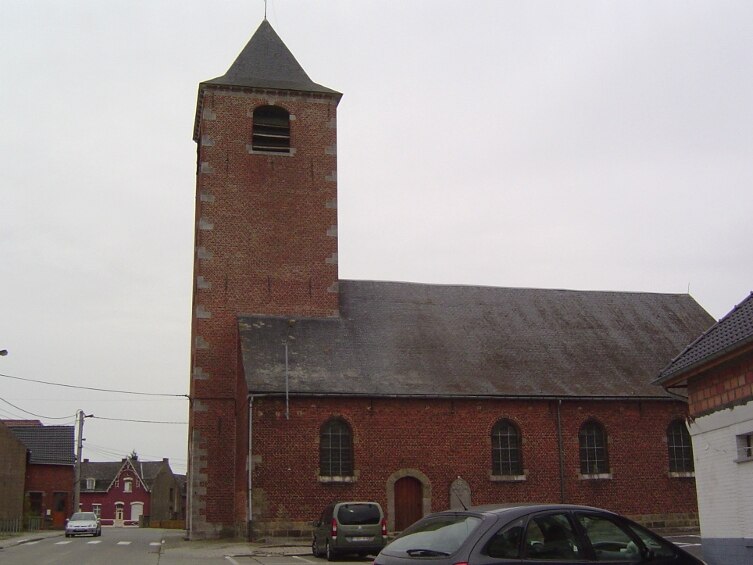
Photo: Laika, CC BY-SA 3.0.
Huissignies is a village, which is situated 7 km south of Demarlière SA.
Demarlière SA
- Type: Industry
- Location: Ath, Arrondissement of Ath, Hainaut, Wallonia, Belgium, Benelux, Europe
- View on OpenStreetMap
Latitude
50.62209° or 50° 37′ 20″ northLongitude
3.78957° or 3° 47′ 22″ eastOpen location code
9F25JQCQ+RROpenStreetMap ID
way 423197917OpenStreetMap feature
landuse=industrial
This page is based on OpenStreetMap, Wikidata, and Wikimedia Commons.
We’d love your help improving our open data sources. Thank you for contributing.
Satellite Map
Discover Demarlière SA from above in high-definition satellite imagery.
Notable Places Nearby
Highlights include Bassin Ninie and 19.
Nearby Places
Explore places such as CRASEN and maison de Painda.
Hainaut: Must-Visit Destinations
Delve into Charleroi, Mons, Tournai, and La Louvière.
Curious Places to Discover
Uncover intriguing places from every corner of the globe.
About Mapcarta. Data © OpenStreetMap contributors and available under the Open Database License". Text is available under the CC BY-SA 4.0 license, except for photos, directions, and the map. Photo: Daniel71953, CC BY-SA 3.0.