IPES - Ath
IPES - Ath is a school in Ath, Hainaut, Wallonia. IPES - Ath is situated nearby to the college HEPH Condorcet Ath, as well as near the lock 20.| Tap on a place to explore it |
Places of Interest Nearby
Highlights include Ath railway station and The House of the giants.
Ath railway station
Railway station

Photo: Jean-Pol GRANDMONT, CC BY 3.0.
Ath railway station is situated 500 metres northeast of IPES - Ath.
The House of the giants
Museum
 The House of the giants is a museum, which is situated 730 metres north of IPES - Ath.
Sint-Julianuskerk
Church

Photo: Paul Hermans, CC BY-SA 3.0.
Sint-Julianuskerk is a church, which is situated 640 metres north of IPES - Ath.
Places in the Area
Nearby places include Attre and Mévergnies-lez-Lens.
Attre
Village

Photo: Jean-Pol GRANDMONT, CC BY 2.5.
Attre is a village, which is situated 5 km east of IPES - Ath.
Mévergnies-lez-Lens
Village

Photo: Jean-Pol GRANDMONT, CC BY-SA 3.0.
Mévergnies-lez-Lens is a village, which is situated 6 km east of IPES - Ath.
Huissignies
Village
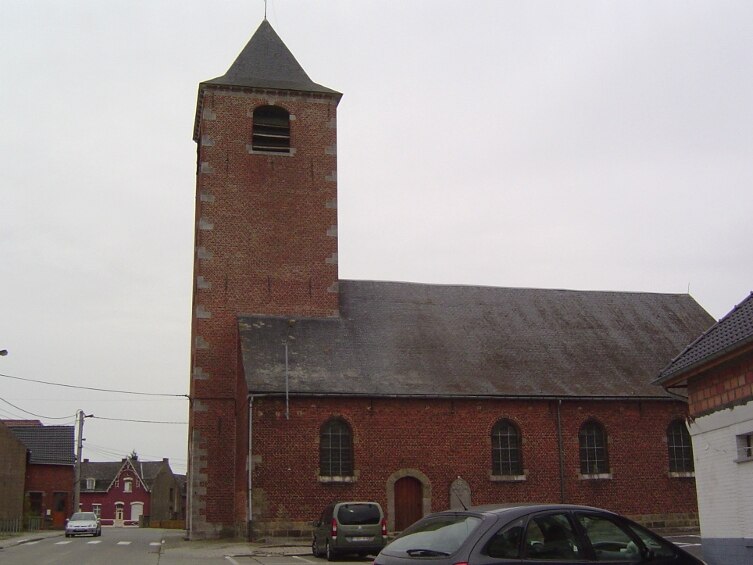
Photo: Laika, CC BY-SA 3.0.
Huissignies is a village, which is situated 7 km south of IPES - Ath.
IPES - Ath
- Type: School
- Category: education
- Location: Ath, Arrondissement of Ath, Hainaut, Wallonia, Belgium, Benelux, Europe
- View on OpenStreetMap
Latitude
50.62324° or 50° 37′ 24″ northLongitude
3.77385° or 3° 46′ 26″ eastOpen location code
9F25JQFF+7GOpenStreetMap ID
way 423944704OpenStreetMap feature
amenity=school
This page is based on OpenStreetMap, Wikidata, and Wikimedia Commons.
We’d love your help improving our open data sources. Thank you for contributing.
Satellite Map
Discover IPES - Ath from above in high-definition satellite imagery.
Places with the Same Name
Discover other places named “IPES - Ath”.
Notable Places Nearby
Highlights include HEPH Condorcet Ath and HEPH Condorcet Ath (coté Sucrerie).
Nearby Places
Explore places such as IPES Ath (Site Paul Pastur) and Friterie.
Hainaut: Must-Visit Destinations
Delve into Charleroi, Mons, Tournai, and La Louvière.
Curious Schools to Discover
Uncover intriguing schools from every corner of the globe.
About Mapcarta. Data © OpenStreetMap contributors and available under the Open Database License". Text is available under the CC BY-SA 4.0 license, except for photos, directions, and the map. Photo: Daniel71953, CC BY-SA 3.0.