Radebrook
Radebrook is a forest in Giekau, Plön, Schleswig-Holstein. Radebrook is situated nearby to the hamlet Neuhaus, as well as near the village Fresendorf.| Tap on a place to explore it |
Places of Interest
Highlights include Großsteingrab Panker 1 and Johanneskirche.
Großsteingrab Panker 1
Archaeological site

Photo: Veliensis, CC BY-SA 4.0.
Großsteingrab Panker 1 is an archaeological site.

Hessenstein Observation Tower
Scenic viewpoint

Photo: Wikimedia, CC BY-SA 2.0 de.
Hessenstein Observation Tower is a scenic viewpoint.
Places in the Area
Nearby places include Klamp and Giekau.
Klamp
Village
Klamp is a municipality in the district of Plön, in Schleswig-Holstein, Germany. It has a population of around 800.
Giekau
Village

Photo: Holger.Ellgaard, CC BY-SA 3.0.
Giekau is a municipality in the district of Plön, in Schleswig-Holstein, Germany.
Lütjenburg
Town
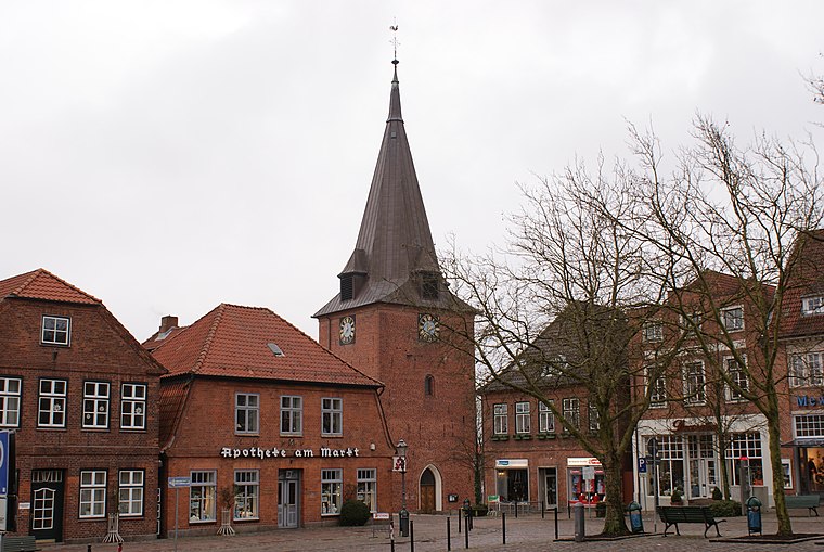
Photo: PodracerHH, CC BY-SA 3.0.
Lütjenburg is a town of the district of Plön, Schleswig-Holstein, Germany. It is located approximately 18 km northeast of Plön, and 30 km east of Kiel.
Radebrook
- Type: Forest
- Location: Giekau, Plön, Schleswig-Holstein, Germany, Central Europe, Europe
- View on OpenStreetMap
Latitude
54.3048° or 54° 18′ 17″ northLongitude
10.5147° or 10° 30′ 53″ eastOpen location code
9F6G8G37+WVOpenStreetMap ID
way 42401243OpenStreetMap feature
landuse=forest
This page is based on OpenStreetMap, Wikidata, and Wikimedia Commons.
We’d love your help improving our open data sources. Thank you for contributing.
Satellite Map
Discover Radebrook from above in high-definition satellite imagery.
Places with the Same Name
Discover other places named “Radebrook”.
Localities in the Area
Explore places such as Neuhaus and Fresendorf.
Notable Places Nearby
Highlights include Wallburg Giekau and Radebrook.
Schleswig-Holstein: Must-Visit Destinations
Delve into Kiel, Lübeck, Flensburg, and Heligoland.
Curious Forests to Discover
Uncover intriguing forests from every corner of the globe.
About Mapcarta. Data © OpenStreetMap contributors and available under the Open Database License". Text is available under the CC BY-SA 4.0 license, except for photos, directions, and the map. Photo: Ypsilon from Finland, CC0.