IL&FS
IL&FS is in Mumbai Suburban District, Mumbai City District, Maharashtra. IL&FS is situated nearby to BKC Police Station, as well as near the hospital Asian Heart Institute.| Tap on a place to explore it |
Places of Interest Nearby
Highlights include Riwa Fort and Bandra Kurla Complex metro station.
Riwa Fort

Photo: सावंत योगेश ९७, CC BY-SA 4.0.
The Riwa Fort, locally known as Kala Qilla or Black Fort, is a fort in central Mumbai, India on the banks of the Mithi River. The fort is currently in a dilapidated condition amidst the Dharavi slums. Riwa Fort is situated 1¼ km south of IL&FS.
Bandra Kurla Complex metro station
Metro station
Bandra Kurla Complex is an underground metro station serving the business district of Bandra Kurla Complex on the North-South corridor of the Aqua Line 3 of Mumbai Metro in Mumbai, India. Bandra Kurla Complex metro station is situated 670 metres southwest of IL&FS.
Bharat Diamond Bourse
Bharat Diamond Bourse is the world's largest diamond bourse and is located in Mumbai, India. Spread over a 8.1-hectare plot, the complex is home to some 2,500 small and large diamond traders in addition to the Custom House, banks and other service providers who cater to the gems and jewelry trade. Bharat Diamond Bourse is situated 460 metres northeast of IL&FS.Places in the Area
Nearby places include Dharavi and Western Suburbs.
Dharavi
Locality
 Dharavi is a residential area in Mumbai, Maharashtra, India. It has often been considered one of the world's largest slums. Dharavi has an area of just over 2.39 square kilometres and a population of about 1,000,000.
Western Suburbs

Photo: Superfast1111, CC BY-SA 3.0.
The Western Suburbs of Mumbai consists of Bandra, Khar, Santacruz, Juhu, Vile Parle, Andheri and Jogeshwari, which are some of the oldest suburbs of the city.
Mahim
Suburb
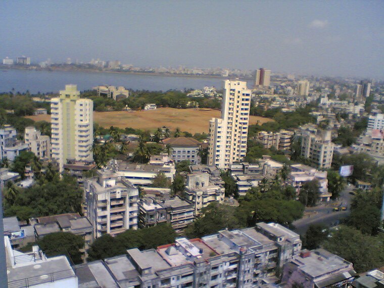
Photo: Mehulsg, CC BY-SA 3.0.
Mahim, ) is a neighborhood in Mumbai, Maharashtra, India. The Mahim Junction railway station on the Western Railway and Harbour Railway of the Mumbai Suburban Railway network is the last station of the city, as neighboring Bandra is part of the Mumbai Suburb. Mahim is situated 3 km southwest of IL&FS.
IL&FS
- Type: Commerce
- Location: Mumbai Suburban District, Mumbai City District, Maharashtra, Western India, India, South Asia, Asia
- View on OpenStreetMap
Latitude
19.06298° or 19° 3′ 47″ northLongitude
72.86052° or 72° 51′ 38″ eastOpen location code
7JFJ3V76+56OpenStreetMap ID
way 430413551OpenStreetMap feature
landuse=commercial
This page is based on OpenStreetMap, Wikidata, and Wikimedia Commons.
We’d love your help improving our open data sources. Thank you for contributing.
Satellite Map
Discover IL&FS from above in high-definition satellite imagery.
Notable Places Nearby
Highlights include BKC Police Station and Asian Heart Institute.
Nearby Places
Explore places such as ICICI Bank and ICICI.
Maharashtra: Must-Visit Destinations
Delve into Mumbai, Pune, Nagpur, and Nashik.
Curious Places to Discover
Uncover intriguing places from every corner of the globe.
About Mapcarta. Data © OpenStreetMap contributors and available under the Open Database License". Text is available under the CC BY-SA 4.0 license, except for photos, directions, and the map. Photo: Mangeshjadhav, CC BY-SA 3.0.