Waitrose
Waitrose is a parking area in Bournemouth, Christchurch and Poole, England. Waitrose is situated nearby to St John’s Parish Church, as well as near the church Gospel Hall.| Tap on a place to explore it |
- Opening hours:
Monday—Saturday: 8:00 AM—8:00 PM
Sunday: 10:00 AM—4:00 PM - Type: Parking area
- Parking: multi-storey
- Wheelchair access: yes
Places of Interest Nearby
Highlights include St Dunstan of Canterbury Orthodox Church and Alexandra Park.
St Dunstan of Canterbury Orthodox Church
Church

Photo: Chris Downer, CC BY-SA 2.0.
St Dunstan of Canterbury Orthodox Church is an Antiochian Orthodox church in Parkstone, Poole, Dorset. It is the parish church for Bournemouth and Poole within the Antiochian Orthodox Archdiocese of The British Isles and Ireland. St Dunstan of Canterbury Orthodox Church is situated 1,400 feet south of Waitrose.
Alexandra Park
Park

Photo: Mike Faherty, CC BY-SA 2.0.
Alexandra Park is a small public open space set within the densely urbanised area of Parkstone in Poole, on the south coast of England. Its former bowling green and pavilion was home to Alexandra Park Lawn Bowls Club, established in the 1920s. Alexandra Park is situated 1,700 feet east of Waitrose.
Parkstone railway station
Railway station

Photo: Wikimedia, Copyrighted free use.
Parkstone railway station serves the Parkstone area of Poole in Dorset, England. Parkstone railway station is situated 2,700 feet southwest of Waitrose.
Places in the Area
Nearby places include Parkstone and Penn Hill.
Parkstone
Suburb

Photo: Mike Smith, CC BY-SA 2.0.
Parkstone is an area of Poole, in the Bournemouth, Christchurch and Poole district, in the ceremonial county of Dorset, England. It is divided into 'Lower' and 'Upper' Parkstone.
Penn Hill
Suburb

Photo: Mike Faherty, CC BY-SA 2.0.
Penn Hill is a suburb and electoral ward of Poole in Dorset, England, bordering on Branksome Park, Canford Cliffs, Sandbanks, Lilliput and Parkstone. It is effectively part of Parkstone.
Branksome
Suburb
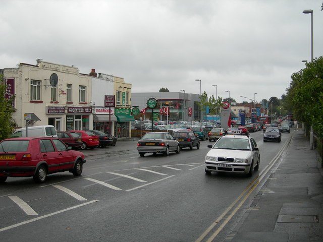
Photo: Danny Robinson, CC BY-SA 2.0.
Branksome is a suburb of Poole, in the Bournemouth, Christchurch and Poole district, in the ceremonial county of Dorset, England. The area consists of residential properties and also a number of commercial and industrial areas.
Waitrose
- Categories: building, commercial building, and transportation
- Location: Bournemouth, Christchurch and Poole, England, United Kingdom, Britain and Ireland, Europe
- View on OpenStreetMap
Latitude
50.72834° or 50° 43′ 42″ northLongitude
-1.93962° or 1° 56′ 23″ westOperator
Waitrose & PartnersOpen location code
9C2WP3H6+85OpenStreetMap ID
way 430846160OpenStreetMap feature
amenity=parkingOpenStreetMap feature
building=commercialOpenStreetMap attribute
parking=multi-storeyOpenStreetMap attribute
wheelchair=yes
This page is based on OpenStreetMap, Wikidata, and Wikimedia Commons.
We’d love your help improving our open data sources. Thank you for contributing.
Satellite Map
Discover Waitrose from above in high-definition satellite imagery.
Places with the Same Name
Discover other places named “Waitrose”.
Notable Places Nearby
Highlights include St John’s Parish Church and Gospel Hall.
Nearby Places
Explore places such as Waitrose and Richmond Road Top.
England: Must-Visit Destinations
Delve into London, Manchester, Sheffield, and Leeds.
Curious Parking Areas to Discover
Uncover intriguing parking areas from every corner of the globe.
About Mapcarta. Data © OpenStreetMap contributors and available under the Open Database License". Text is available under the CC BY-SA 4.0 license, except for photos, directions, and the map. Photo: sidibousaid, CC BY 2.0.