Tirefous
Tirefous is a building in La Couarde-sur-Mer, Arrondissement of La Rochelle, Nouvelle-Aquitaine. Tirefous is situated nearby to the tourism office Bureau d’accueil de La Couarde-sur-Mer, as well as near the cemetery Tombes de guerre du Commonwealth.| Tap on a place to explore it |
Places of Interest Nearby
Highlights include Église Notre-Dame-de-l’Annonciation de La Couarde-sur-Mer and Église Notre-Dame-de-tous-les-Saints du Bois-Plage-en-Ré.
Église Notre-Dame-de-l’Annonciation de La Couarde-sur-Mer
Church

Photo: Chris06, CC BY-SA 4.0.
Église Notre-Dame-de-l’Annonciation de La Couarde-sur-Mer is a church, which is situated 370 metres west of Tirefous.
Église Notre-Dame-de-tous-les-Saints du Bois-Plage-en-Ré
Church

Photo: Chris06, CC BY-SA 4.0.
Église Notre-Dame-de-tous-les-Saints du Bois-Plage-en-Ré is a church, which is situated 2 km east of Tirefous.
Maison de la Vinatrie
Historic house
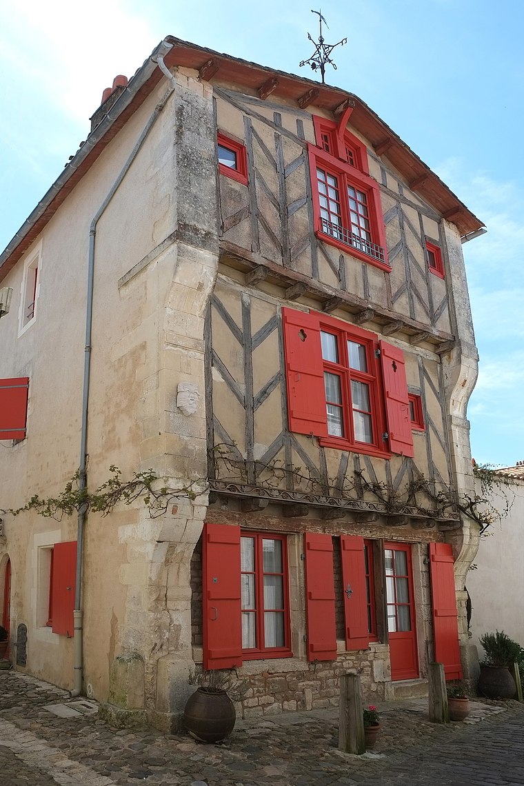
Photo: Piso17, CC BY-SA 4.0.
Maison de la Vinatrie is a historic house, which is situated 4 km east of Tirefous.
Places in the Area
Nearby places include Saint-Martin-de-Ré and La Flotte.
Saint-Martin-de-Ré
Village

Photo: Stedewa, CC BY-SA 4.0.
Saint-Martin-de-Ré is a commune in the western French department of Charente-Maritime. It is one of the ten communes located on the Île de Ré. The fortifications in Saint-Martin-de-Ré, drawn up by Vauban between 1681 and 1685, were inscribed on the UNESCO… Saint-Martin-de-Ré is situated 4 km east of Tirefous.
La Flotte
Village

Photo: Pep.per, CC BY-SA 1.0.
La Flotte is a village, which is situated 7 km east of Tirefous.
Ars-en-Ré
Village

Photo: Stedewa, CC BY-SA 4.0.
Ars-en-Ré is a commune on the Île de Ré in the western French department of Charente-Maritime, in Nouvelle-Aquitaine. Formerly called just Ars, the commune changed to its current name on 8 March 1962. Ars-en-Ré is situated 8 km west of Tirefous.
Tirefous
Latitude
46.19352° or 46° 11′ 37″ northLongitude
-1.41948° or 1° 25′ 10″ westOperator
EnedisOpen location code
8CRW5HVJ+C6OpenStreetMap ID
way 437225046OpenStreetMap feature
building=service
This page is based on OpenStreetMap, Wikidata, and Wikimedia Commons.
We’d love your help improving our open data sources. Thank you for contributing.
Satellite Map
Discover Tirefous from above in high-definition satellite imagery.
Notable Places Nearby
Highlights include Bureau d’accueil de La Couarde-sur-Mer and Tombes de guerre du Commonwealth.
Nearby Places
Explore places such as Oceazur and Le Sel d’Isabelle.
Charente-Maritime: Must-Visit Destinations
Delve into La Rochelle, Royan, Saintes, and La Tremblade.
Curious Buildings to Discover
Uncover intriguing buildings from every corner of the globe.
About Mapcarta. Data © OpenStreetMap contributors and available under the Open Database License". Text is available under the CC BY-SA 4.0 license, except for photos, directions, and the map. Photo: Jpbazard, CC BY-SA 3.0.