Pen Craig
Pen Craig is a building in Bournemouth, Christchurch and Poole Council, England. Pen Craig is situated nearby to the public building County Gates House, as well as near Bournemouth Traincare Depot.| Tap on a place to explore it |
Places of Interest Nearby
Highlights include Westbourne Library and Bournemouth Traincare Depot.
Westbourne Library
Library

Photo: JuliaC2006, CC BY 2.0.
Westbourne Library is situated 1,400 feet east of Pen Craig.
Bournemouth Traincare Depot

Photo: Peter Kazmierczak, CC BY-SA 2.0.
Bournemouth Traincare Depot is a traction maintenance depot located in Bournemouth, South West England. The depot is situated on a spur off the South West Main Line and is to the east of Branksome station. The depot code is BM. Bournemouth Traincare Depot is situated 830 feet north of Pen Craig.
West Cliff Baptist Church
Church

Photo: Hassocks5489, CC0.
West Cliff Baptist Church is situated 1,800 feet east of Pen Craig.
Places in the Area
Nearby places include Westbourne and Branksome.
Westbourne
Suburb

Photo: Mike Faherty, CC BY-SA 2.0.
Westbourne is a residential and shopping area of Bournemouth, Dorset, England. It is located in between Branksome, Poole and the centre of Bournemouth, just off the A338.
Branksome
Suburb
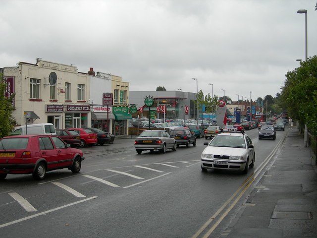
Photo: Danny Robinson, CC BY-SA 2.0.
Branksome is a suburb of Poole, in the Bournemouth, Christchurch and Poole district, in the ceremonial county of Dorset, England. The area consists of residential properties and also a number of commercial and industrial areas.
Branksome Park
Suburb
Branksome Park is a suburb of Poole in Dorset, which adjoins Branksome, Dorset. The area covers approximately 360 acres, mostly occupied by housing, and includes Branksome Chine which leads to the award-winning blue-flagged beaches of Poole.
Pen Craig
Latitude
50.72289° or 50° 43′ 22″ northLongitude
-1.90779° or 1° 54′ 28″ westOpen location code
9C2WP3FR+5VOpenStreetMap ID
way 437425870OpenStreetMap feature
building=yes
This page is based on OpenStreetMap, Wikidata, and Wikimedia Commons.
We’d love your help improving our open data sources. Thank you for contributing.
Satellite Map
Discover Pen Craig from above in high-definition satellite imagery.
Places with the Same Name
Discover other places named “Pen Craig”.
Notable Places Nearby
Highlights include County Gates House and Westbourne Fire Station.
Nearby Places
Explore places such as Blenheim and Liverpool Victoria.
England: Must-Visit Destinations
Delve into London, Manchester, Sheffield, and Leeds.
Curious Buildings to Discover
Uncover intriguing buildings from every corner of the globe.
About Mapcarta. Data © OpenStreetMap contributors and available under the Open Database License". Text is available under the CC BY-SA 4.0 license, except for photos, directions, and the map. Photo: sidibousaid, CC BY 2.0.