Congregazione Suore Dimesse
Congregazione Suore Dimesse is in Padua, Padova, Veneto. Congregazione Suore Dimesse is situated nearby to Church of the Dimesse, as well as near Villa Canale.| Tap on a place to explore it |
Places of Interest Nearby
Highlights include Church of the Dimesse and Orto botanico di Padova.

Orto botanico di Padova
Park

Photo: Wikimedia, CC BY-SA 2.5.
The Orto Botanico di Padova is a botanical garden in Padua, in the northeastern part of Italy. Founded in June 1545 by the Venetian Republic, it is the world's oldest academic botanical garden that is still in its original location.
La Specola

Photo: Multimotyl, CC BY-SA 4.0.
La Specola is a 14th-century tower, formerly part of a medieval castle, and converted in 1767 into an astronomical observatory in Padua, region of Veneto, Italy. La Specola is situated 270 metres northwest of Congregazione Suore Dimesse.
Places in the Area
Nearby places include Guizza and Arcella.

Arcella
Suburb
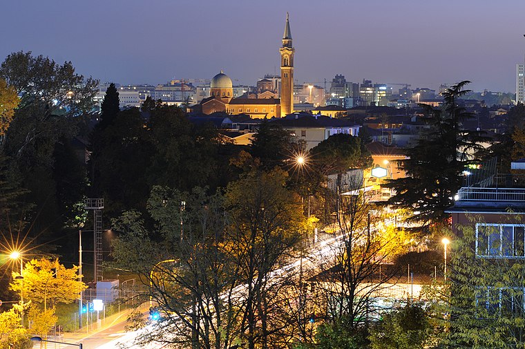
Photo: mauro.puppett photography, CC BY 2.0.
Arcella is the name of a district in Padua, located close to the Milan-Venice railway, north-east of Padua's central station. However, urban expansion taking place since the 1950s, made the boundaries between the localities nearby imperceptible. Arcella is situated 3 km north of Congregazione Suore Dimesse.
Terranegra
Suburb

Photo: Threecharlie, CC BY-SA 3.0.
Terranegra is a suburb, which is situated 3 km east of Congregazione Suore Dimesse.
Congregazione Suore Dimesse
- Type: Religious organization
- Category: religion
- Location: Padua, Padova, Veneto, Northeast Italy, Italy, Europe
- View on OpenStreetMap
Latitude
45.39966° or 45° 23′ 59″ northLongitude
11.86997° or 11° 52′ 12″ eastOpen location code
8FQH9VX9+VXOpenStreetMap ID
way 439335230OpenStreetMap feature
landuse=religious
This page is based on OpenStreetMap, Wikidata, and Wikimedia Commons.
We’d love your help improving our open data sources. Thank you for contributing.
Satellite Map
Discover Congregazione Suore Dimesse from above in high-definition satellite imagery.
Notable Places Nearby
Highlights include Villa Canale and Torresino.
Nearby Places
Explore places such as Istituto Collegio Dimesse and Via Cavalletto / Dimesse.
Veneto: Must-Visit Destinations
Delve into Venice, Verona, Vicenza, and Treviso.
Curious Places to Discover
Uncover intriguing places from every corner of the globe.
About Mapcarta. Data © OpenStreetMap contributors and available under the Open Database License". Text is available under the CC BY-SA 4.0 license, except for photos, directions, and the map. Photo: Wikimedia, CC0.