St Mary’s CofE Junior and Infant School
St Mary’s CofE Junior and Infant School is a school in Manchester, England which is located on Adscombe Street. St Mary’s CofE Junior and Infant School is situated nearby to the community center Moss Side Adventure, as well as near Manchester Chinese Christian Church.| Tap on a place to explore it |
- Type: School
- Denomination: Anglican
- Address: Adscombe Street, Manchester, M16 7AQ
Places of Interest Nearby
Highlights include Loreto College and Alexandra Park.
Loreto College
College
Loreto College is a Roman Catholic sixth form college in Hulme, Manchester, England, based on the educational philosophy of Mary Ward, a 16th-century nun, who founded the Institute of the Blessed Virgin Mary, the congregation of religious sisters who started the college in 1851. Loreto College is situated 2,000 feet north of St Mary’s CofE Junior and Infant School.
Alexandra Park
Park

Photo: Pit-yacker, CC BY-SA 3.0.
Alexandra Park is a 60-acre park in Whalley Range, Manchester, England, on the border of Moss Side, Manchester, on the border of Fallowfield, Manchester, designed by Alexander Gordon Hennell, and opened to the public in 1870. Alexandra Park is situated 2,100 feet southeast of St Mary’s CofE Junior and Infant School.
Manchester Museum
Museum

Photo: DrPhoenix, CC BY-SA 3.0.
Manchester Museum is a museum displaying works of archaeology, anthropology and natural history and is owned by the University of Manchester, in England. Manchester Museum is situated 1 mile northeast of St Mary’s CofE Junior and Infant School.
Places in the Area
Nearby places include Moss Side and Whalley Range.
Moss Side
Suburb

Photo: Mosscat, Public domain.
Moss Side is an inner-city area of Manchester, England, 1.9 miles south of the city centre. It had a population of 20,745 at the 2021 census. Moss Side is bounded by Hulme to the north, Chorlton-on-Medlock, Rusholme and Fallowfield to the east, Whalley Range to the south, and Old Trafford to the west.
Whalley Range
Suburb
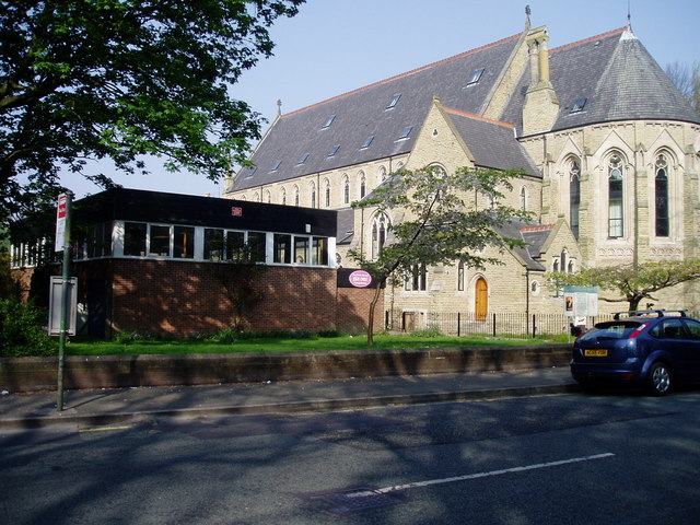
Photo: R Greenhalgh, CC BY-SA 2.0.
Whalley Range is an area of Manchester, England, 2 miles south-west of the city centre. The population at the 2011 census was 15,430. Historically in Lancashire, it was one of the earliest of the city's suburbs, built by local businessman Samuel Brooks.
South Manchester

Photo: adambruderer, CC BY 2.0.
South Manchester covers the south of Manchester as far south as the M60. It lies within The Historic County Boundaries of Lancashire. It contains amongst others, the following neighbourhoods:…
St Mary’s CofE Junior and Infant School
- Category: education
- Location: Manchester, England, United Kingdom, Britain and Ireland, Europe
- View on OpenStreetMap
Latitude
53.45654° or 53° 27′ 24″ northLongitude
-2.25468° or 2° 15′ 17″ westOpen location code
9C5VFP4W+J4OpenStreetMap ID
way 439981368OpenStreetMap feature
amenity=schoolOpenStreetMap attribute
denomination=anglican
This page is based on OpenStreetMap, Wikidata, and Wikimedia Commons.
We’d love your help improving our open data sources. Thank you for contributing.
Satellite Map
Discover St Mary’s CofE Junior and Infant School from above in high-definition satellite imagery.
Notable Places Nearby
Highlights include Moss Side Adventure and Moss Side Adventure Playground.
Nearby Places
Explore places such as Magis Supplies Ltd and Windrush Millenium Centre.
Manchester: Must-Visit Destinations
Delve into Manchester Airport, Victoria-Shopping District, Piccadilly-East Centre, and Castlefield-Petersfield.
Curious Schools to Discover
Uncover intriguing schools from every corner of the globe.
About Mapcarta. Data © OpenStreetMap contributors and available under the Open Database License". Text is available under the CC BY-SA 4.0 license, except for photos, directions, and the map. Photo: David Dixon, CC BY-SA 2.0.