Modell-Flug-Club-Landskrone e.V.
Modell-Flug-Club-Landskrone e.V. is a grassland in Rhineland-Palatinate, Germany. Modell-Flug-Club-Landskrone e.V. is situated nearby to the reservoir Hochbehälter Eckendorf, as well as near the church Bölinger Kapellchen.| Tap on a place to explore it |
Places of Interest Nearby
Highlights include Fritzdorfer Windmühle and St. Georg (Fritzdorf).
Fritzdorfer Windmühle

Photo: Springfield911, CC BY-SA 3.0.
Fritzdorfer Windmühle is situated 1¼ km east of Modell-Flug-Club-Landskrone e.V..
St. Georg (Fritzdorf)
Church

Photo: GFreihalter, CC BY-SA 3.0.
St. Georg (Fritzdorf) is a church, which is situated 1½ km northeast of Modell-Flug-Club-Landskrone e.V..
St. Joseph (Beller)
Church

Photo: GFreihalter, CC BY-SA 3.0.
St. Joseph (Beller) is a church, which is situated 2 km east of Modell-Flug-Club-Landskrone e.V..
Places in the Area
Nearby places include Fritzdorf and Eckendorf.


Modell-Flug-Club-Landskrone e.V.
- Type: Grassland
- Location: Rhineland-Palatinate, Germany, Central Europe, Europe
- View on OpenStreetMap
Latitude
50.58432° or 50° 35′ 4″ northLongitude
7.07607° or 7° 4′ 34″ eastOpen location code
9F29H3MG+PCOpenStreetMap ID
way 44025926OpenStreetMap feature
landuse=grass
This page is based on OpenStreetMap, Wikidata, and Wikimedia Commons.
We’d love your help improving our open data sources. Thank you for contributing.
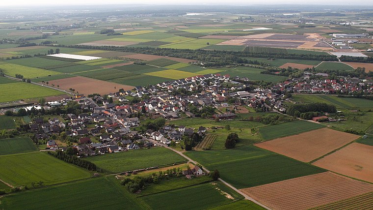
Satellite Map
Discover Modell-Flug-Club-Landskrone e.V. from above in high-definition satellite imagery.
Notable Places Nearby
Highlights include Hochbehälter Eckendorf and Bölinger Kapellchen.
Nearby Places
Explore places such as Ahrtal and HARIBO.
Rhineland-Palatinate: Must-Visit Destinations
Delve into Mainz, Trier, Koblenz, and Worms.
Curious Grasslands to Discover
Uncover intriguing grasslands from every corner of the globe.
About Mapcarta. Data © OpenStreetMap contributors and available under the Open Database License". Text is available under the CC BY-SA 4.0 license, except for photos, directions, and the map. Photo: Traveler100, CC BY-SA 3.0.