Cal OES - Southern Region Branch
Cal OES - Southern Region Branch is a government office in Orange County, Southern California, California which is located on Liberty Avenue. Cal OES - Southern Region Branch is situated nearby to Cottonwood Church, as well as near the health club 24 Hour Fitness.| Tap on a place to explore it |
Places of Interest Nearby
Highlights include Los Alamitos High School and Oxford Academy.
Los Alamitos High School
School
 Los Alamitos High School is a public school for grades 9 to 12 located in Los Alamitos, California, and also serving the city of Seal Beach and the community of Rossmoor. Los Alamitos High School is situated 1½ miles northwest of Cal OES - Southern Region Branch.
Oxford Academy
School
Oxford Academy, commonly stylized as OA, is a public school in Cypress, California serving grades 7–12 as part of the Anaheim Union High School District. Oxford Academy is situated 2 miles north of Cal OES - Southern Region Branch.
Cypress High School
School
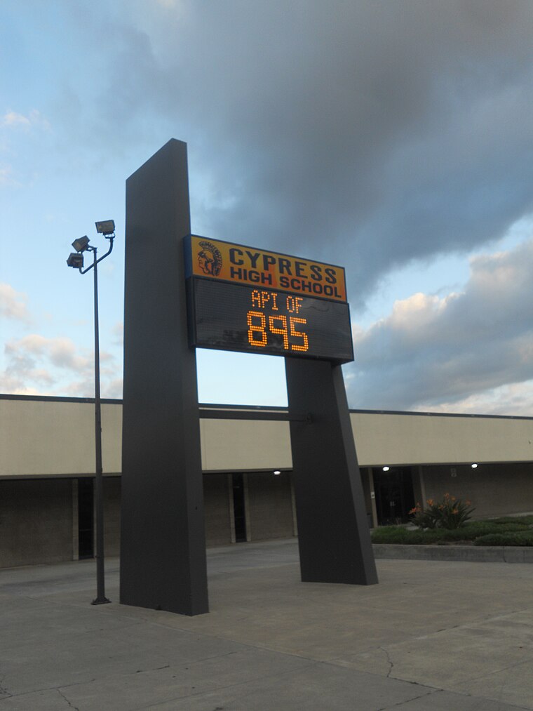
Photo: F-Lambda, CC BY-SA 3.0.
Cypress High School is a public high school in the city of Cypress, California. It was founded in 1973 and serves grades 9 through 12. Cypress is one of eight high schools in the Anaheim Union High School District. Cypress High School is situated 2 miles northeast of Cal OES - Southern Region Branch.
Places in the Area
Nearby places include Los Alamitos and Cypress.
Los Alamitos
 Los Alamitos is a city in Orange County, California, which was incorporated in March 1960. Its population was 11,780 in the 2020 census, up from 11,449 in 2010.
Cypress

Photo: Traveler100, CC BY-SA 4.0.
Cypress is a city in northwestern Orange County, California. Its population was 50,151 as of the 2020 census.
Hawaiian Gardens
Town

Photo: Laurie Avocado, CC BY 2.0.
Hawaiian Gardens is a city in Los Angeles County, California, United States. It is the smallest city in the county in area and was incorporated on April 9, 1964. Hawaiian Gardens is situated 2½ miles northwest of Cal OES - Southern Region Branch.
Cal OES - Southern Region Branch
- Type: Government office
- Address: Building 283, 4671 Liberty Avenue, Los Alamitos, CA 90720
- Categories: building, office, and government building
- Location: Orange County, Southern California, California, United States, North America
- View on OpenStreetMap
Latitude
33.79716° or 33° 47′ 50″ northLongitude
-118.05171° or 118° 3′ 6″ westOperator
California Governor’s Office of Emergency ServicesOpen location code
8553QWWX+V8OpenStreetMap ID
way 441088333OpenStreetMap feature
building=yesOpenStreetMap feature
office=government
This page is based on OpenStreetMap, Wikidata, and Wikimedia Commons.
We’d love your help improving our open data sources. Thank you for contributing.
Satellite Map
Discover Cal OES - Southern Region Branch from above in high-definition satellite imagery.
Notable Places Nearby
Highlights include Cottonwood Church and 24 Hour Fitness.
Nearby Places
Explore places such as Billeting and National Guard Operations Center.
Orange County: Must-Visit Destinations
Delve into Disneyland, Anaheim, Santa Ana, and Irvine.
Curious Government Offices to Discover
Uncover intriguing government offices from every corner of the globe.
About Mapcarta. Data © OpenStreetMap contributors and available under the Open Database License". Text is available under the CC BY-SA 4.0 license, except for photos, directions, and the map. Photo: Traveler100, CC BY-SA 3.0.