Freiwillige Feuerwehr Frühwärts
Freiwillige Feuerwehr Frühwärts is a fire station in Gastern, Waidhofen an der Thaya District, Lower Austria. Freiwillige Feuerwehr Frühwärts is situated nearby to the forest Saßwald.| Tap on a place to explore it |
Places of Interest Nearby
Highlights include Wehrkirche Kleinzwettl and Pfarrkirche Gastern.
Wehrkirche Kleinzwettl
Church

Photo: Hannes r, Public domain.
Wehrkirche Kleinzwettl is a church, which is situated 2 km west of Freiwillige Feuerwehr Frühwärts.
Pfarrkirche Gastern
Church

Photo: Duke of W4, CC BY-SA 3.0 at.
Pfarrkirche Gastern is a church, which is situated 2 km northwest of Freiwillige Feuerwehr Frühwärts.
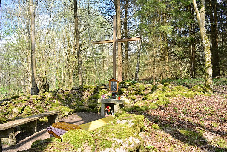
hl. Johannes Nepomuk
Wayside shrine

Photo: Duke of W4, CC BY-SA 3.0.
hl. Johannes Nepomuk is a wayside shrine, which is situated 2½ km northeast of Freiwillige Feuerwehr Frühwärts.
Places in the Area
Nearby places include Eggern and Waidhofen an der Thaya.
Eggern
Village

Photo: Duke of W4, CC BY-SA 3.0.
Eggern is a town in the district of Gmünd in the Austrian state of Lower Austria. Eggern is situated 7 km northwest of Freiwillige Feuerwehr Frühwärts.
Waidhofen an der Thaya
Town

Photo: Extrawurst, CC BY-SA 3.0.
Waidhofen an der Thaya is an Austrian town located on the German Thaya river in the district of the same name in Lower Austria. It is the northernmost of the capitals of the Districts of Austria. Waidhofen an der Thaya is situated 8 km southeast of Freiwillige Feuerwehr Frühwärts.
Romava
Locality
 Romava is a locality, which is situated 9 km northwest of Freiwillige Feuerwehr Frühwärts.
Freiwillige Feuerwehr Frühwärts
- Type: Fire station
- Address: 104, Frühwärts, Gastern, 3842
- Category: building
- Location: Gastern, Waidhofen an der Thaya District, Lower Austria, Austria, Central Europe, Europe
- View on OpenStreetMap
Latitude
48.88038° or 48° 52′ 49″ northLongitude
15.24142° or 15° 14′ 29″ eastOpen location code
8FWQV6JR+5HOpenStreetMap ID
way 447360286OpenStreetMap feature
amenity=fire_stationOpenStreetMap feature
building=yes
This page is based on OpenStreetMap, Wikidata, and Wikimedia Commons.
We’d love your help improving our open data sources. Thank you for contributing.
Satellite Map
Discover Freiwillige Feuerwehr Frühwärts from above in high-definition satellite imagery.
Notable Places Nearby
Highlights include Kleinzwettler Pferdehof and Kommunalzentrum Gastern.
Nearby Places
Explore places such as Evofin OG, Autopflege and EVO-Trans Transport OG.
Lower Austria: Must-Visit Destinations
Delve into St. Pölten, Wiener Neustadt, Amstetten, and Klosterneuburg.
Curious Fire Stations to Discover
Uncover intriguing fire stations from every corner of the globe.
About Mapcarta. Data © OpenStreetMap contributors and available under the Open Database License". Text is available under the CC BY-SA 4.0 license, except for photos, directions, and the map. Photo: Lonezor, CC BY-SA 3.0.