Capilla de la Virgen
Capilla de la Virgen is a public building in Albacete, Castile-La Mancha. Capilla de la Virgen is situated nearby to the public building Templete, as well as near Talabarteros 1.| Tap on a place to explore it |
Places of Interest Nearby
Highlights include Parque de los jardinillos and Plaza de Toros de Albacete.
Parque de los jardinillos
Park

Photo: Wikimedia, CC BY-SA 4.0.
Parque de los jardinillos is a park, which is situated 290 metres east of Capilla de la Virgen.
Plaza de Toros de Albacete
Stadium

Photo: Rodelar, CC BY-SA 4.0.
The Plaza de Toros de Albacete is a bullring in the town of the Albacete, in the region of Castilla-La Mancha. Popularly known as "La Chata", a member of the Royal Academy, José Maria de Cossio, called it "one of the most excellent bullrings of Spain". Plaza de Toros de Albacete is situated 530 metres east of Capilla de la Virgen.
Iglesia de Fátima
Church
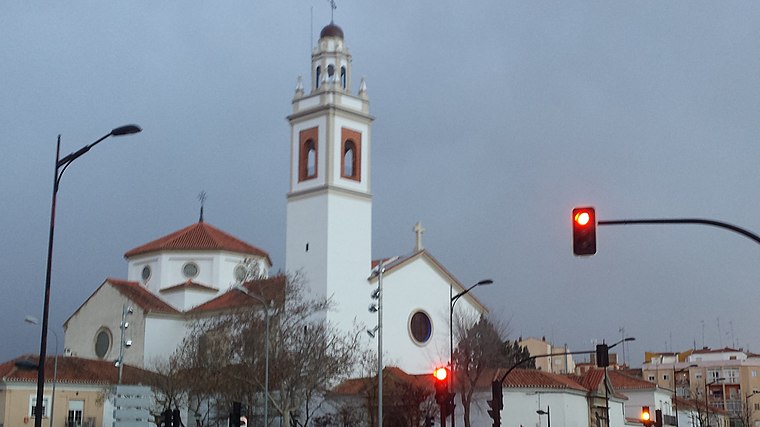 Iglesia de Fátima is a church, which is situated 570 metres south of Capilla de la Virgen.
Places in the Area
Nearby places include Hospital and Medicina.

Medicina
Suburb

Photo: Jose Pablo OK, CC BY-SA 3.0.
Medicina is a suburb, which is situated 3 km southeast of Capilla de la Virgen.
Aguas Nuevas
Suburb
Aguas Nuevas is a village in Albacete, Castile-La Mancha, Spain. It is a small community belonging to the municipality of Albacete. It is located south of the Spanish capital. In 2023 it had 1968 inhabitants according to the INE. Aguas Nuevas is situated 10 km southwest of Capilla de la Virgen.
Capilla de la Virgen
- Type: Public building
- Roof shape: gabled
- Categories: building and government building
- Location: Albacete, Albacete, Castile-La Mancha, Central Spain, Spain, Iberia, Europe
- View on OpenStreetMap
Latitude
38.99712° or 38° 59′ 50″ northLongitude
-1.86988° or 1° 52′ 12″ westLevels
3Open location code
8CCWX4WJ+R2OpenStreetMap ID
way 448645935OpenStreetMap feature
building=publicOpenStreetMap attribute
roof-shape=gabled
This page is based on OpenStreetMap, Wikidata, and Wikimedia Commons.
We’d love your help improving our open data sources. Thank you for contributing.
Satellite Map
Discover Capilla de la Virgen from above in high-definition satellite imagery.
Notable Places Nearby
Highlights include Templete and Talabarteros 1.
Nearby Places
Explore places such as Stand Globalcaja and El molino.
Castile-La Mancha: Must-Visit Destinations
Delve into Toledo, Cuenca, Ciudad Real, and Consuegra.
Curious Public Buildings to Discover
Uncover intriguing public buildings from every corner of the globe.
About Mapcarta. Data © OpenStreetMap contributors and available under the Open Database License". Text is available under the CC BY-SA 4.0 license, except for photos, directions, and the map. Photo: Kurnosem, CC BY-SA 3.0.