American Legion Hall
American Legion Hall is a community center in Los Angeles, Southern California, California. American Legion Hall is situated nearby to the church Centro Cristiano Rey De Gloria, as well as near Iglesia La Senda Antigua.| Tap on a place to explore it |
Places of Interest Nearby
Highlights include South Gate Senior High School and St. Francis Medical Center.
South Gate Senior High School
School
South Gate High School is a 9–12 high school in South Gate, California, United States and is part of the Los Angeles Unified School District. South Gate Senior High School is situated 3,000 feet north of American Legion Hall.
St. Francis Medical Center
Hospital
St. Francis Medical Center is a for-profit hospital in Lynwood, California, United States, owned by Prime Healthcare Services. St. Francis Medical Center is situated 1¼ miles south of American Legion Hall.
Lynwood station
Railway station

Photo: GTD Aquitaine, Public domain.
Lynwood station is an elevated light rail station on the C Line of the Los Angeles Metro Rail system. It is located in the median of Interstate 105 above Long Beach Boulevard, in the city of Lynwood, California, after which the station is named. Lynwood station is situated 1½ miles south of American Legion Hall.
Places in the Area
Nearby places include Lynwood and Cudahy.
Lynwood
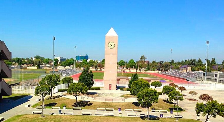
Photo: Octaviogonz, CC BY-SA 4.0.
Lynwood is in the Gateway Cities region of Los Angeles County, California. It is probably best known for being the hometown of "Weird Al" Yankovic.
Cudahy
Town
Cudahy is a city located in southeastern Los Angeles County, California, United States. Cudahy has one of the highest population densities of any incorporated city in the United States. Cudahy is situated 1½ miles northeast of American Legion Hall.
Walnut Park
Suburb
Walnut Park is a census-designated place in Los Angeles County, California, United States, adjacent to Florence-Graham, Huntington Park and South Gate. The population was 15,214 at the 2020 census 15,966 at the 2010 census. Walnut Park is situated 1½ miles northwest of American Legion Hall.
American Legion Hall
- Type: Community center
- Category: building
- Location: Los Angeles, Southern California, California, United States, North America
- View on OpenStreetMap
Latitude
33.94817° or 33° 56′ 53″ northLongitude
-118.20731° or 118° 12′ 26″ westElevation
131 feet (40 metres)Inception
1938Height
24 feet (7.2 metres)Brand
American LegionOpen location code
8553WQXV+73OpenStreetMap ID
way 450827506OpenStreetMap feature
amenity=social_centreOpenStreetMap feature
building=yes
This page is based on OpenStreetMap, Wikidata, and Wikimedia Commons.
We’d love your help improving our open data sources. Thank you for contributing.
Satellite Map
Discover American Legion Hall from above in high-definition satellite imagery.
Places with the Same Name
Discover other places named “American Legion Hall”.
Notable Places Nearby
Highlights include Centro Cristiano Rey De Gloria and Iglesia La Senda Antigua.
Nearby Places
Explore places such as California & Duane and California Patio Homes.
Los Angeles: Must-Visit Destinations
Delve into Hollywood, San Gabriel Valley, San Fernando Valley, and Long Beach.
Curious Community Centers to Discover
Uncover intriguing community centers from every corner of the globe.
About Mapcarta. Data © OpenStreetMap contributors and available under the Open Database License". Text is available under the CC BY-SA 4.0 license, except for photos, directions, and the map. Photo: Mfield, CC BY-SA 3.0.