École de la boverie
École de la boverie is a building in Namur, Namur, Wallonia which is located on Avenue Jean Delhaye. École de la boverie is situated nearby to Ronet railway station, as well as near Numerical Artifacts Museum - Information Pratique.| Tap on a place to explore it |
Places of Interest Nearby
Highlights include Ronet railway station and Château de Flawinne.
Ronet railway station
Railway station

Photo: Japplemedia, CC BY-SA 4.0.
Ronet railway station is situated 520 metres south of École de la boverie.
Château de Flawinne
Castle

Photo: Marc Ronvaux, CC BY-SA 3.0.
The château de Flawinne or Castle of Flawinne is in the Belgian village of Flawinne on the outskirts of Namur, Wallonia. Château de Flawinne is situated 2 km west of École de la boverie.
Flawinne railway station
Railway stop

Photo: Japplemedia, CC BY-SA 4.0.
Flawinne railway station is a railway stop, which is situated 1½ km southwest of École de la boverie.
Places in the Area
Nearby places include Ronet and Belgrade.

Belgrade
Village

Photo: Jean-Pol GRANDMONT, CC BY-SA 3.0.
Belgrade is a sub-municipality of the city of Namur located in the province of Namur, Wallonia, Belgium. The municipality of Belgrade was formed on 2 August 1897, when it was detached from the municipality of Flawinne.
Flawinne
Village
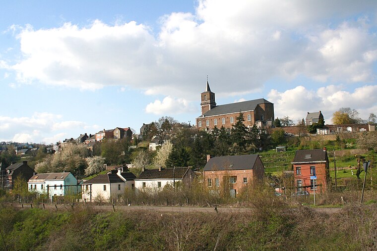
Photo: Jean-Pol GRANDMONT, CC BY-SA 3.0.
Flawinne is a sub-municipality of the city of Namur located in the province of Namur, Wallonia, Belgium. It was a separate municipality until 1977. On 2 August 1897, Belgrade was detached from Flawinne. On 1 January 1977, Flawinne was merged into Namur.
École de la boverie
- Type: Building
- Address: Avenue Jean Delhaye 55, Belgrade, 5001
- Location: Namur, Arrondissement of Namur, Namur, Wallonia, Belgium, Benelux, Europe
- View on OpenStreetMap
Latitude
50.46269° or 50° 27′ 46″ northLongitude
4.82755° or 4° 49′ 39″ eastOpen location code
9F26FR7H+32OpenStreetMap ID
way 456105737OpenStreetMap feature
building=yes
This page is based on OpenStreetMap, Wikidata, and Wikimedia Commons.
We’d love your help improving our open data sources. Thank you for contributing.
Satellite Map
Discover École de la boverie from above in high-definition satellite imagery.
Notable Places Nearby
Highlights include Numerical Artifacts Museum - Information Pratique and Maison des jeunes du quartier des Balances.
Nearby Places
Explore places such as Belgrade Rue Godefroid and Belgrade Avenue Gourdin.
Curious Buildings to Discover
Uncover intriguing buildings from every corner of the globe.
About Mapcarta. Data © OpenStreetMap contributors and available under the Open Database License". Text is available under the CC BY-SA 4.0 license, except for photos, directions, and the map. Photo: Guywets, CC BY-SA 3.0.