Lovevics
Lovevics is a café in Kettering District, North Northamptonshire, England which is located on Dalkeith Place. Lovevics is situated nearby to the pub The Earl of Dalkeith, as well as near the church Central Methodist.| Tap on a place to explore it |
Places of Interest Nearby
Highlights include Fuller Baptist Church and The Earl of Dalkeith.
Fuller Baptist Church
Church
Fuller Baptist Church is a Baptist church located in the town of Kettering in northern Northamptonshire, England. This church was organized over 300 years ago, and has contributed to the creation of a number of Baptist churches nearby. It is Grade II listed. Fuller Baptist Church is situated 460 feet northwest of Lovevics.

Kettering Library
Library
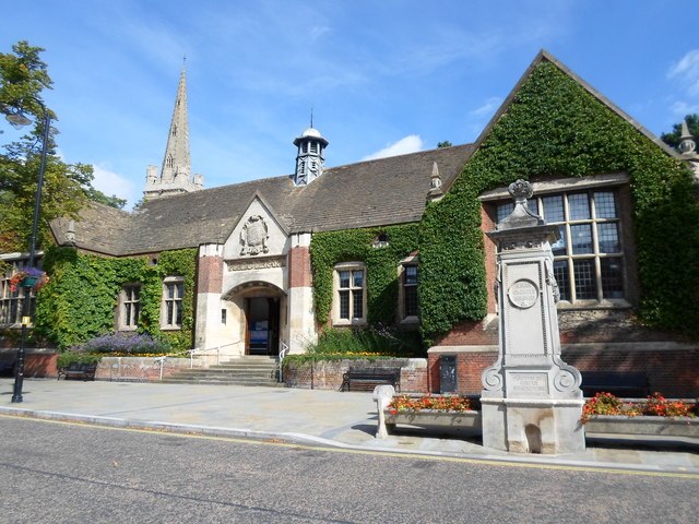
Photo: Burgess Von Thunen, CC BY-SA 2.0.
Kettering Library is a public library in Kettering, England, situated in the centre of the town between Market Place and St Peter and St Paul's Church. Kettering Library is situated 1,300 feet south of Lovevics.
Places in the Area
Nearby places include Kettering and Barton Seagrave.
Kettering

Photo: Wikimedia, CC BY-SA 2.0.
Kettering is a town of 60,749 people in north Northamptonshire. Kettering owes much of its heritage and growth to the arrival of the railway during the mid-1800s.
Barton Seagrave
Village
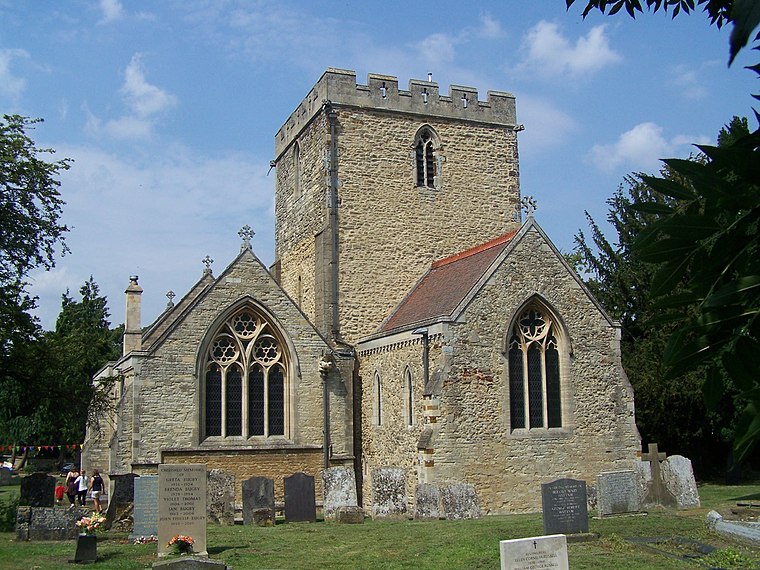
Photo: Geoff Pick, CC BY-SA 2.0.
Barton Seagrave is a large village and civil parish in the North Northamptonshire, England. The village is about 1.5 miles south-east of Kettering, town centre. Barton Seagrave is situated 2 miles southeast of Lovevics.
Newton
Village
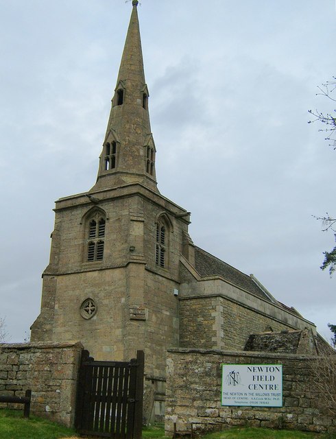
Photo: John Stolarski, CC BY-SA 2.0.
Newton, sometimes called Newton in the Willows, is a small village and former civil parish, now in the parish of Newton and Little Oakley, in the North Northamptonshire district, in the ceremonial county of Northamptonshire, England. Newton is situated 3 miles north of Lovevics.
Lovevics
- Type: Café
- Address: 7 Dalkeith Place, Kettering, NN16 0BS
- Location: Kettering District, North Northamptonshire, England, United Kingdom, Britain and Ireland, Europe
- View on OpenStreetMap
Latitude
52.39978° or 52° 23′ 59″ northLongitude
-0.72559° or 0° 43′ 32″ westOpen location code
9C4X97XF+WQOpenStreetMap ID
way 465838745OpenStreetMap feature
amenity=cafe
This page is based on OpenStreetMap, Wikidata, and Wikimedia Commons.
We’d love your help improving our open data sources. Thank you for contributing.
Satellite Map
Discover Lovevics from above in high-definition satellite imagery.
Notable Places Nearby
Highlights include Central Methodist and Gym2Trim.
Nearby Places
Explore places such as Arabella Beau and Thursfields Chemists.
England: Must-Visit Destinations
Delve into London, Manchester, Sheffield, and Leeds.
Curious Cafés to Discover
Uncover intriguing cafés from every corner of the globe.
About Mapcarta. Data © OpenStreetMap contributors and available under the Open Database License". Text is available under the CC BY-SA 4.0 license, except for photos, directions, and the map. Photo: sidibousaid, CC BY 2.0.