Covina First Southern Baptist Church
Covina First Southern Baptist Church is a church in Los Angeles, Southern California, California. Covina First Southern Baptist Church is situated nearby to the stadium District Field, as well as near Cougar Park.| Tap on a place to explore it |
Places of Interest Nearby
Highlights include Covina station and Covina High School.
Covina station
Railway station

Photo: Genevaapplesauce, CC BY-SA 4.0.
Covina station is a Metrolink train station located at 600 North Citrus Avenue in Covina, California. It is located just east of Citrus Avenue between Front Street and Edna Place. Covina station is situated 3,400 feet north of Covina First Southern Baptist Church.
Covina High School
School
Covina High School, commonly known as Covina High or CHS to the students, is a public high school located in Covina, California. Covina High School is one of three comprehensive high schools within the Covina-Valley Unified School District. Covina High School is situated 2,700 feet west of Covina First Southern Baptist Church.
Eastland Center
Commercial area
Eastland Center is a shopping center in West Covina, California, managed by Pine Tree, LLC. Westfield America, Inc, a precursor to Westfield Group, acquired the shopping center in 1998 and renamed it "Westfield Shoppingtown Eastland", dropping the "Shoppingtown" name in June 2005. Eastland Center is situated 4,000 feet southeast of Covina First Southern Baptist Church.
Places in the Area
Nearby places include Covina and Vincent.
Covina
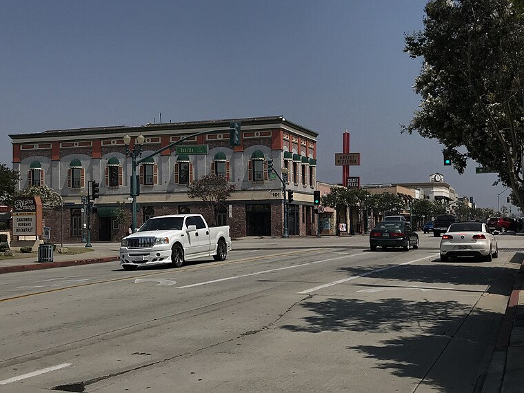
Photo: ASDFGH, CC BY-SA 4.0.
Covina is a city in the San Gabriel Valley region of Los Angeles County, California, United States, about 22 miles east of downtown Los Angeles. The population was 51,268 according to the 2020 census, up from 47,796 at the 2010 census.
Vincent
Locality
Vincent is a census-designated place in the central San Gabriel Valley, in Los Angeles County, California, United States. The city name and zipcode for addresses south of Arrow Highway is Covina and 91722, respectively, and Azusa and 91702 for addresses north of Arrow Highway. Vincent is situated 2 miles northwest of Covina First Southern Baptist Church.
Citrus
Locality
Citrus is an unincorporated community and census designated place in Los Angeles County, California, United States. It is located in the San Gabriel Valley between Azusa to the north and west, Glendora to the east, and Covina to the south. Citrus is situated 2½ miles north of Covina First Southern Baptist Church.
Covina First Southern Baptist Church
- Type: Church
- Categories: building, place of worship, and religion
- Location: Los Angeles, Southern California, California, United States, North America
- View on OpenStreetMap
Latitude
34.08311° or 34° 4′ 59″ northLongitude
-117.89262° or 117° 53′ 33″ westElevation
561 feet (171 metres)Inception
1901Height
35 feet (11 metres)Open location code
856434M4+6XOpenStreetMap ID
way 470642279OpenStreetMap feature
amenity=place_of_worshipOpenStreetMap feature
building=yes
This page is based on OpenStreetMap, Wikidata, and Wikimedia Commons.
We’d love your help improving our open data sources. Thank you for contributing.
Satellite Map
Discover Covina First Southern Baptist Church from above in high-definition satellite imagery.
Notable Places Nearby
Highlights include District Field and Cougar Park.
Nearby Places
Explore places such as Tri-Community Adult School and Baja Ranch Market.
Los Angeles: Must-Visit Destinations
Delve into Hollywood, San Gabriel Valley, San Fernando Valley, and Long Beach.
Curious Churches to Discover
Uncover intriguing churches from every corner of the globe.
About Mapcarta. Data © OpenStreetMap contributors and available under the Open Database License". Text is available under the CC BY-SA 4.0 license, except for photos, directions, and the map. Photo: Mfield, CC BY-SA 3.0.