Reddish Police Station (Closed)
Reddish Police Station (Closed) is a building in Stockport, England which is located on Gorton Road. Reddish Police Station (Closed) is situated nearby to St Josephs R C Church, as well as near Reddish Post Office.| Tap on a place to explore it |
Places of Interest Nearby
Highlights include Reddish South railway station and St Elisabeth’s Church, Reddish.
Reddish South railway station
Railway station

Photo: Eifion Bedford, CC BY-SA 2.0.
Reddish South railway station is on the Stockport–Stalybridge line in Reddish, Stockport, England. The station, used by only 26 passengers in 2013/14, is one of the quietest on the UK rail network. Reddish South railway station is situated 850 feet south of Reddish Police Station (Closed).
St Elisabeth’s Church, Reddish
Church

Photo: Wikimedia, CC BY-SA 2.5.
St. Elisabeth's Church is an Anglo Catholic church in Reddish, an area in the Metropolitan Borough of Stockport, Greater Manchester, England, designed by Alfred Waterhouse in the Victorian Gothic style. It is a grade I listed building. St Elisabeth’s Church, Reddish is situated 850 feet west of Reddish Police Station (Closed).
Houldsworth Working Men’s Club
Building

Photo: Wikimedia, CC BY-SA 2.5.
Houldsworth Working Men's Club is a club in Reddish, an area of Stockport, Greater Manchester, England. Designed by Abraham Henthorn Stott for the local mill-owner William Houldsworth and completed in 1874, it is still used as a working men's club today. Houldsworth Working Men’s Club is situated 670 feet west of Reddish Police Station (Closed).
Places in the Area
Nearby places include Reddish and Brinnington.
Reddish
Suburb
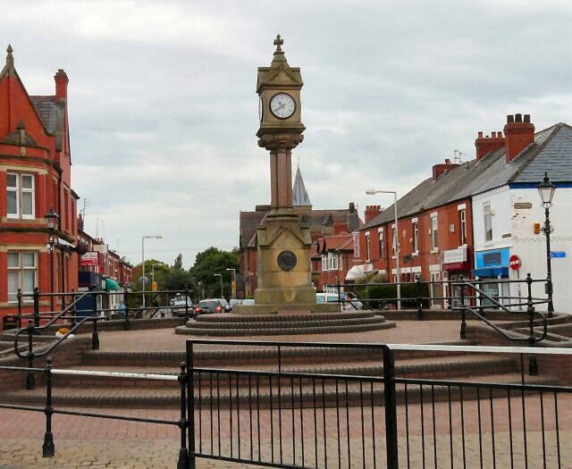
Photo: Wikimedia, CC BY-SA 2.0.
Reddish is an area of the Metropolitan Borough of Stockport, Greater Manchester, England; it lies 4.6 miles south-east of Manchester city centre. At the 2011 census, the population was 28,052.
Brinnington
Suburb

Photo: Bob Abell, CC BY-SA 2.0.
Brinnington is a north-eastern suburb of Stockport, in Greater Manchester, England. It lies on a bluff above a bend in the Tame Valley, between the M60 motorway and Reddish Vale Country Park.
Levenshulme
Suburb
Levenshulme is an area of Manchester, England, bordering Fallowfield, Longsight, Gorton, Burnage, Heaton Chapel and Reddish, halfway between Stockport and Manchester city centre on the A6.
Reddish Police Station (Closed)
- Type: Building
- Address: Gorton Road, Stockport, SK5 6XD
- Location: Stockport, England, United Kingdom, Britain and Ireland, Europe
- View on OpenStreetMap
Latitude
53.43826° or 53° 26′ 18″ northLongitude
-2.15941° or 2° 9′ 34″ westLevels
3Open location code
9C5VCRQR+86OpenStreetMap ID
way 472309037OpenStreetMap feature
building=yes
This page is based on OpenStreetMap, Wikidata, and Wikimedia Commons.
We’d love your help improving our open data sources. Thank you for contributing.
Satellite Map
Discover Reddish Police Station (Closed) from above in high-definition satellite imagery.
Notable Places Nearby
Highlights include St Josephs R C Church and Reddish Post Office.
Nearby Places
Explore places such as Dragon Palace and Reddish Express.
England: Must-Visit Destinations
Delve into London, Manchester, Sheffield, and Leeds.
Curious Buildings to Discover
Uncover intriguing buildings from every corner of the globe.
About Mapcarta. Data © OpenStreetMap contributors and available under the Open Database License". Text is available under the CC BY-SA 4.0 license, except for photos, directions, and the map. Photo: sidibousaid, CC BY 2.0.