Batardeau - Canal de Liaison avec La Seine
Batardeau - Canal de Liaison avec La Seine is in Grigny, Arrondissement of Évry, Île-de-France. Batardeau - Canal de Liaison avec La Seine is situated nearby to the theater building Amin Théâtre, as well as near the sports venue Centre Sportif de l’Orme des Mazières.| Tap on a place to explore it |
Places of Interest Nearby
Highlights include Gare de Viry-Châtillon and Hôpital Joffre-Dupuytren.
Gare de Viry-Châtillon
Railway station
 Gare de Viry-Châtillon is a railway station, which is situated 1¼ km northwest of Batardeau - Canal de Liaison avec La Seine.
Hôpital Joffre-Dupuytren
Hospital
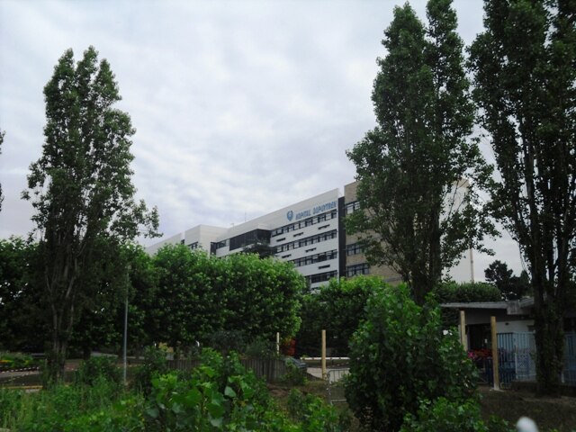
Photo: Cyrilb1881, CC BY-SA 3.0.
Hôpital Joffre-Dupuytren is a hospital, which is situated 1¼ km northeast of Batardeau - Canal de Liaison avec La Seine.
Gare de Grigny-Centre
Railway station

Photo: Wikimedia, CC BY-SA 3.0.
Gare de Grigny-Centre is a railway station, which is situated 1½ km south of Batardeau - Canal de Liaison avec La Seine.
Places in the Area
Nearby places include Viry-Châtillon and Draveil.
Viry-Châtillon
Town
 Viry-Châtillon is a commune in the southern suburbs of Paris, France. It is located 20.9 km from the center of Paris.
Draveil
Town

Photo: Chabe01, CC BY-SA 4.0.
Draveil is a commune in the Essonne department in the southern outer suburbs of Paris, France. It is located 19.1 km from the centre of Paris at Notre-Dame.
Ris-Orangis
Town

Photo: ABRI IMMO, CC BY-SA 3.0.
Ris-Orangis is a commune in the southern suburbs of Paris, France. It is located 22.6 km from the center of Paris. Inhabitants of Ris-Orangis are known as Rissois.
Batardeau - Canal de Liaison avec La Seine
- Type: Body of water
- Location: Grigny, Arrondissement of Évry, Essonne, Île-de-France, France, Europe
- View on OpenStreetMap
Latitude
48.66871° or 48° 40′ 7″ northLongitude
2.3996° or 2° 23′ 59″ eastOpen location code
8FW4M99X+FROpenStreetMap ID
way 47421840OpenStreetMap feature
natural=water
This page is based on OpenStreetMap, Wikidata, and Wikimedia Commons.
We’d love your help improving our open data sources. Thank you for contributing.
Satellite Map
Discover Batardeau - Canal de Liaison avec La Seine from above in high-definition satellite imagery.
Notable Places Nearby
Highlights include Amin Théâtre and Centre Sportif de l’Orme des Mazières.
Nearby Places
Explore places such as ZAC des Noues de Seine and Loxam.
Île-de-France: Must-Visit Destinations
Delve into Paris, Versailles, Boulogne-Billancourt, and Paris Charles de Gaulle Airport.
Curious Places to Discover
Uncover intriguing places from every corner of the globe.
About Mapcarta. Data © OpenStreetMap contributors and available under the Open Database License". Text is available under the CC BY-SA 4.0 license, except for photos, directions, and the map. Photo: Olybrius, CC BY-SA 3.0.